Fall Colors
Visit one of America's Best Fall Foliage Forests!
-
Frequently Asked Questions about…
When can I see the fall colors? Mono County’s varied elevations – from approximately 5,00 to…
-
Top 4 timing tips for fall colors
Aficionados of the changing colors of fall foliage might be surprised to learn that the longest-lasting and…
-
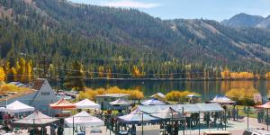
Fall Events
Visiting Mono County in September or October for the fall colors? Tons of fantastic events happen ever year to…
Eastern Sierra Fall Color Map and Guide: click to view, download, or request by mail: 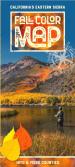
2024 Fall Colors
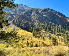
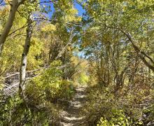
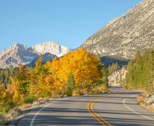
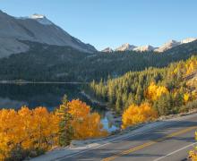
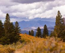
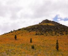
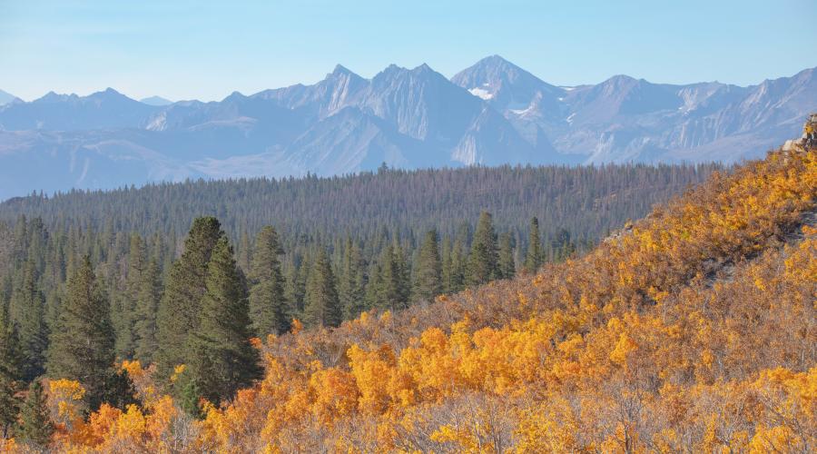
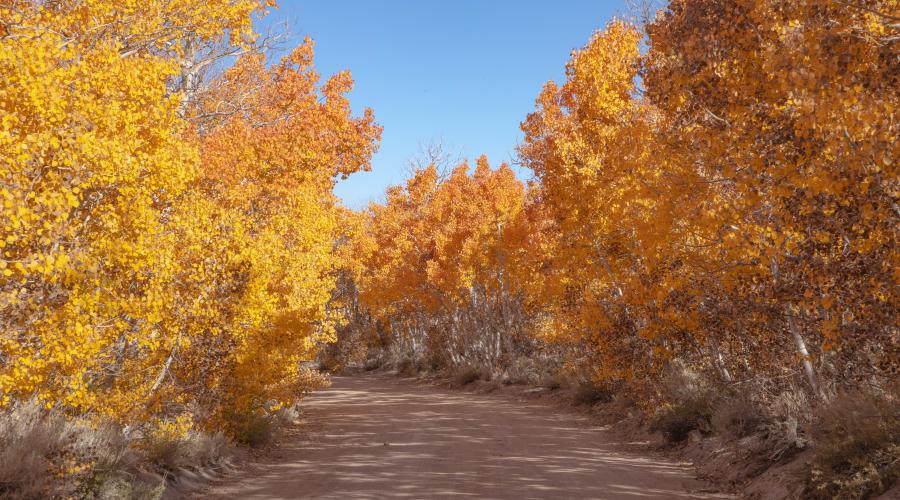
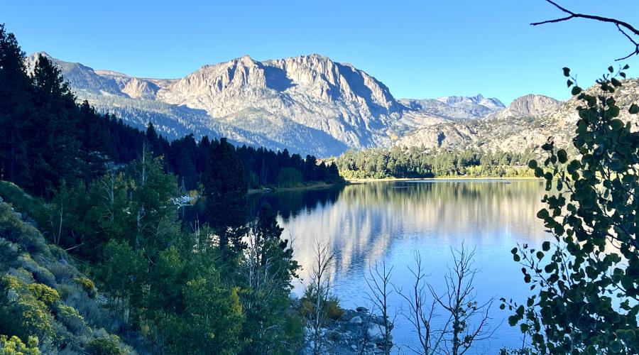
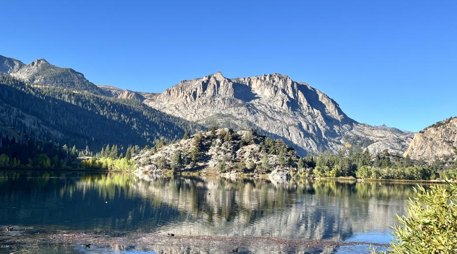
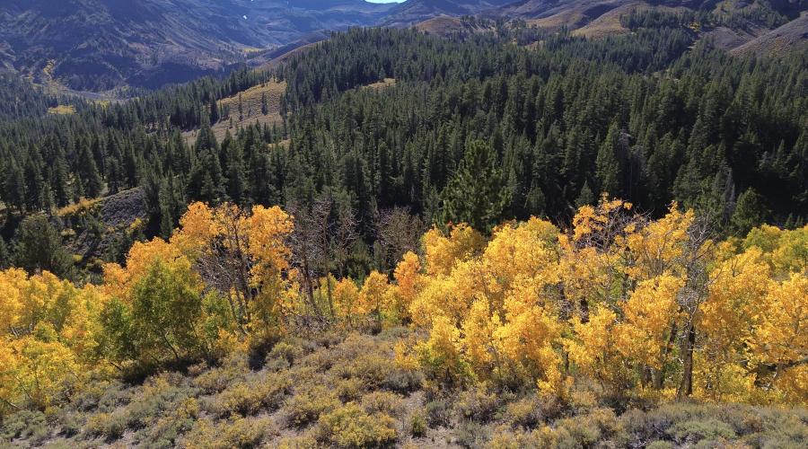
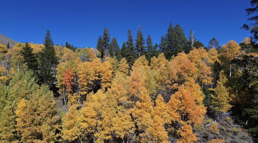
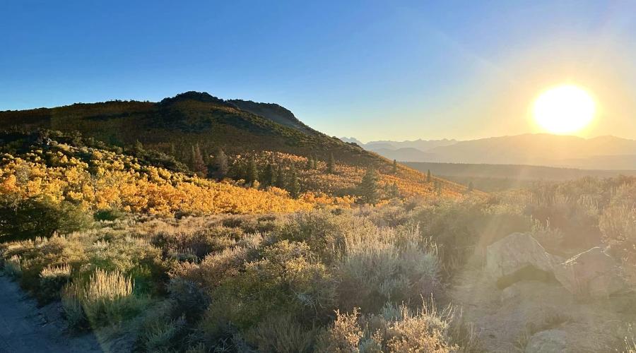
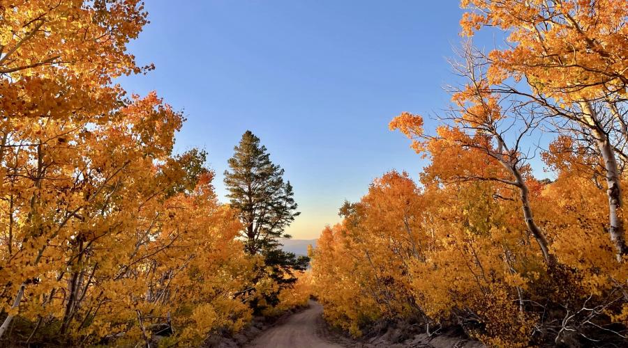
Pictures from the 2024 Fall Color Season
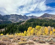
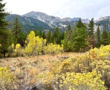
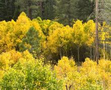
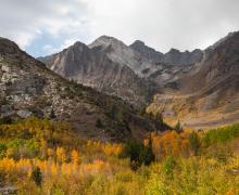
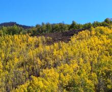
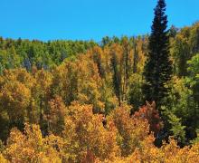
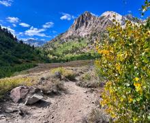
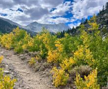
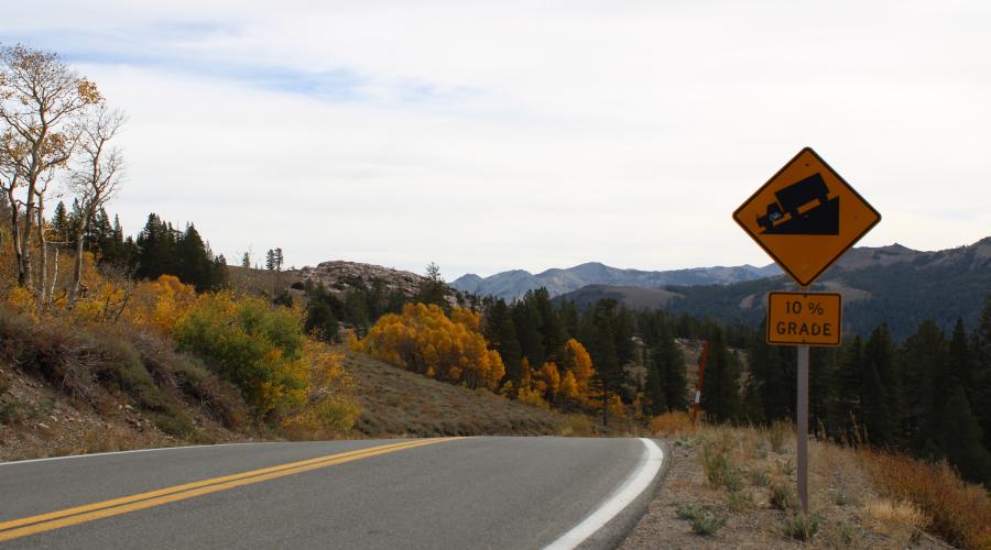
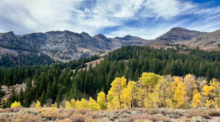
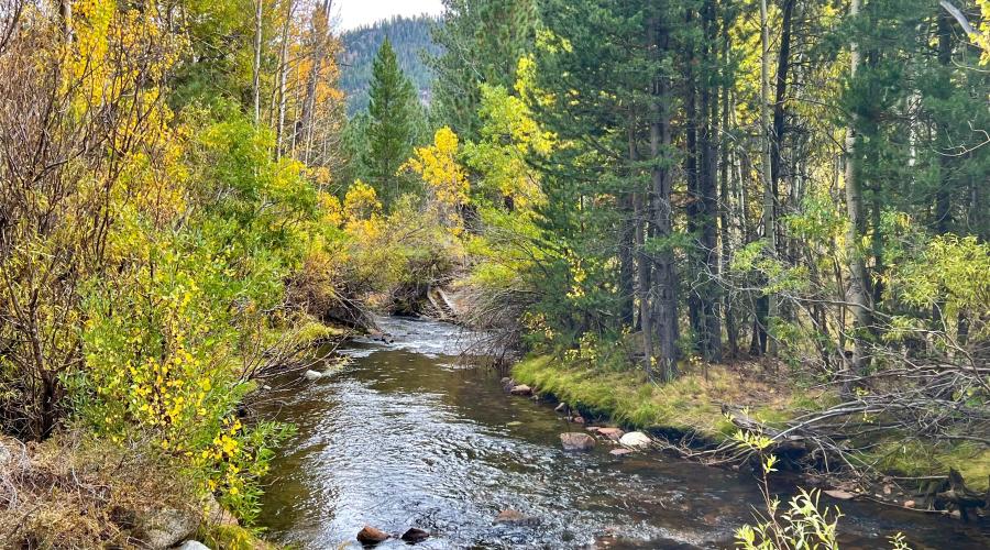
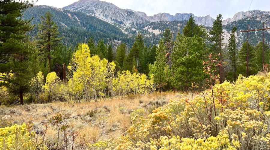
Pictured above: 10.10.24 Sonora Pass by Amanda Carlson with Mono County Tourism
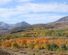
Pictured above: 10.10.24 Sonora Pass by Amanda Carlson with Mono County Tourism
Pictured above: 10.10.24 Sonora Pass by Amanda Carlson with Mono County Tourism
Pictured above: 10.10.24 Sonora Pass by Amanda Carlson with Mono County Tourism
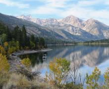
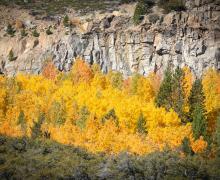
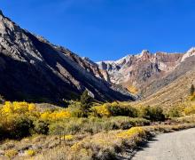
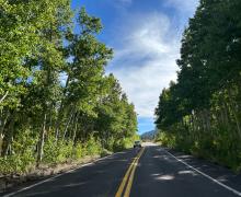
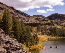
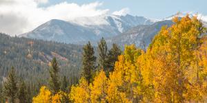
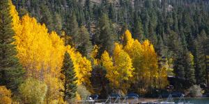
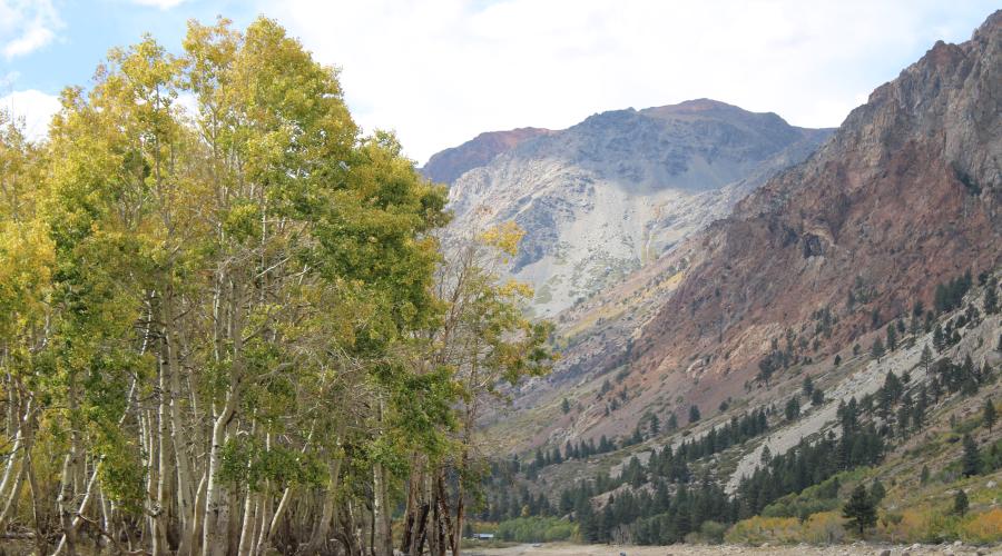
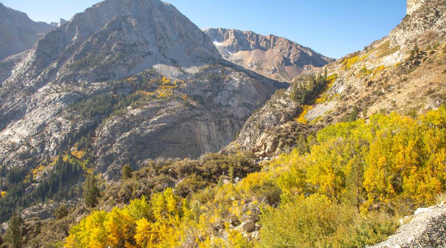
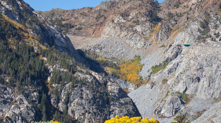
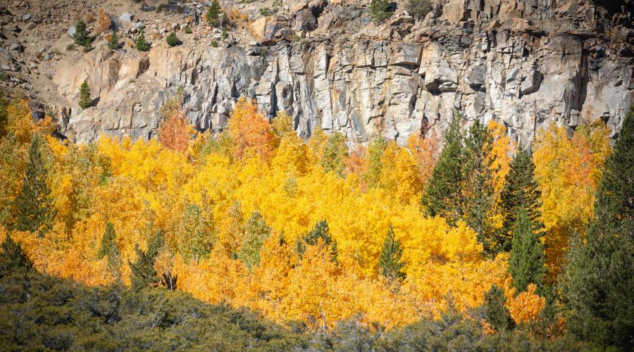
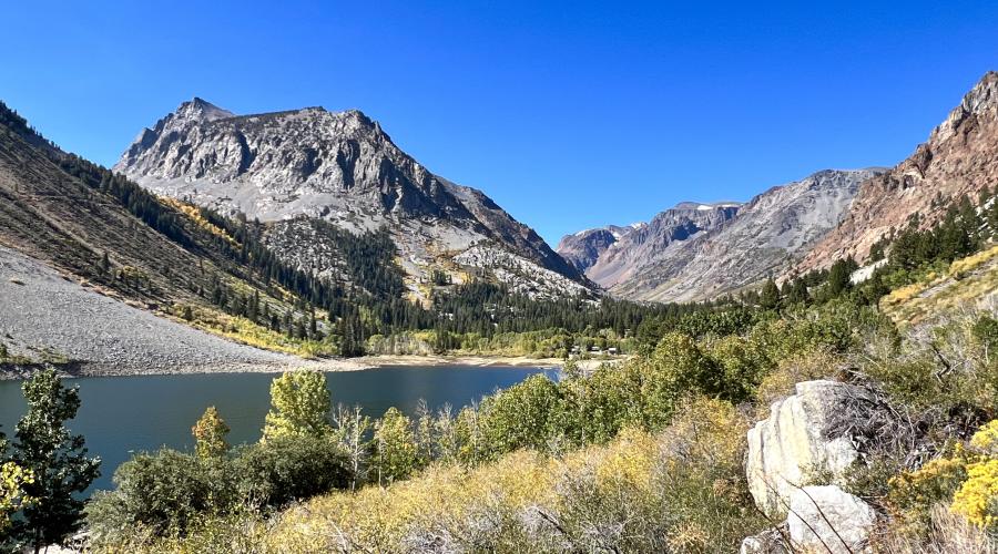
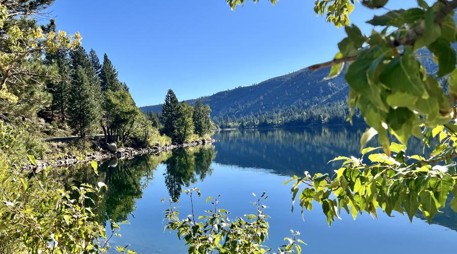
Pictured above: 10.10.24 Lee Vining Canyon by Amanda Carlson with Mono County Tourism
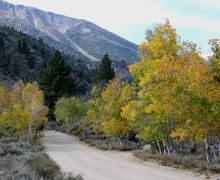
Pictured above: 10.10.24 Lee Vining Canyon by Amanda Carlson with Mono County Tourism
Pictured above: 10.10.24 Lee Vining Canyon by Amanda Carlson with Mono County Tourism
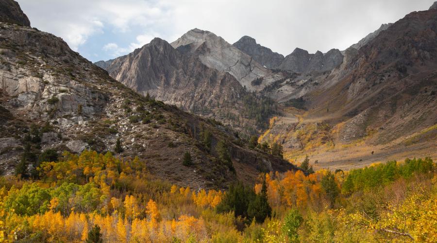
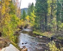
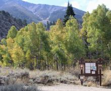
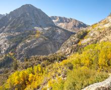
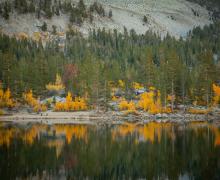
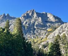
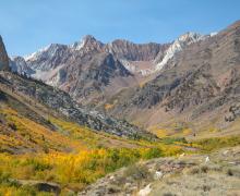
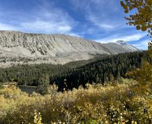
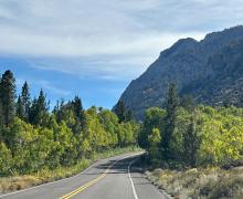
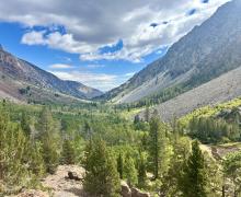
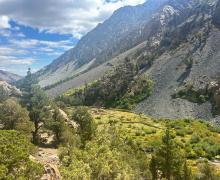
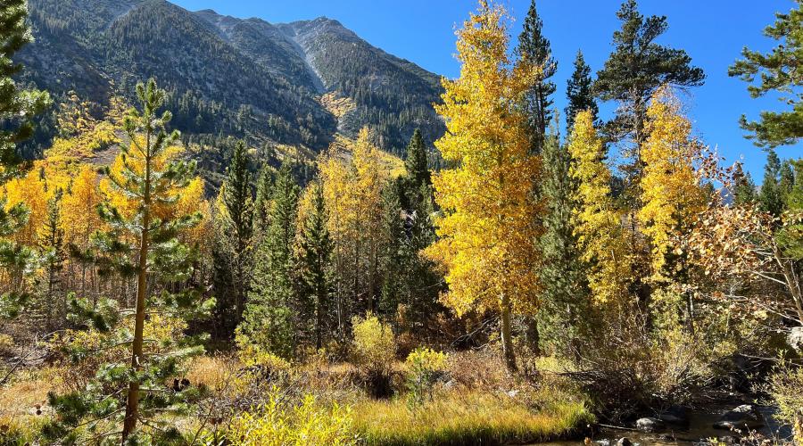
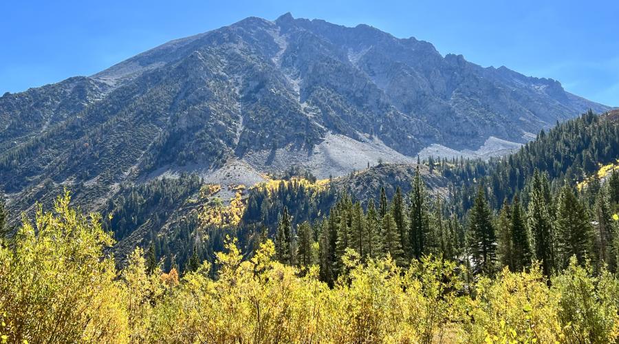
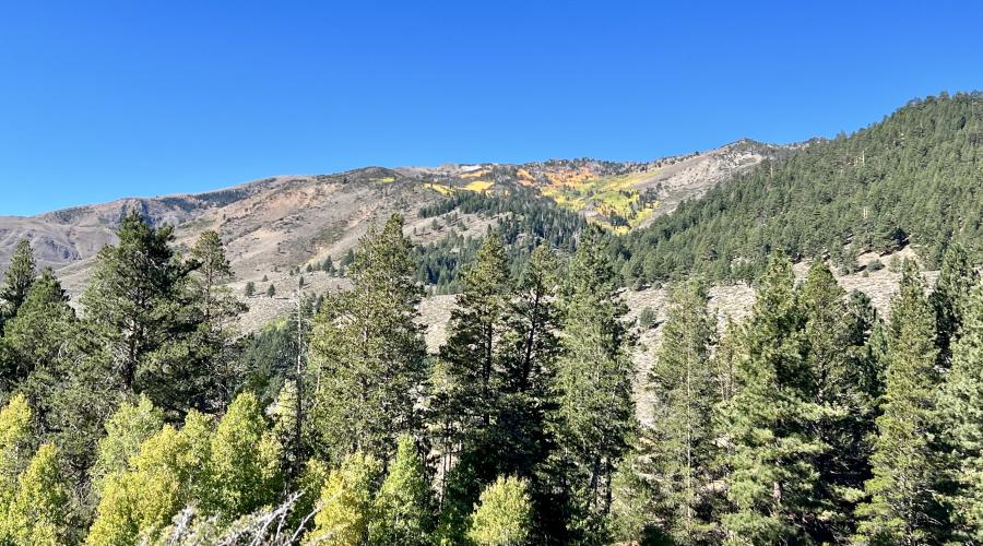
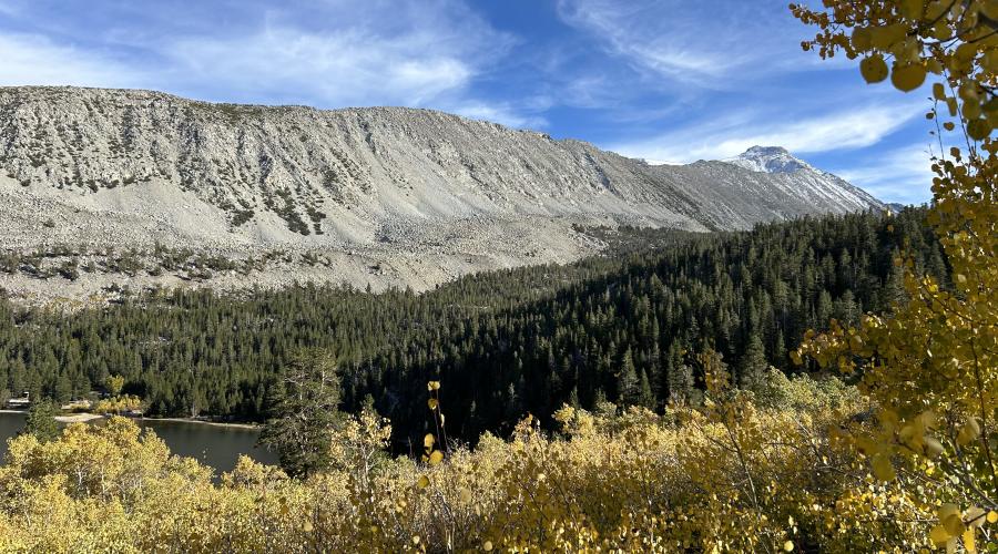
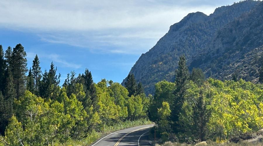
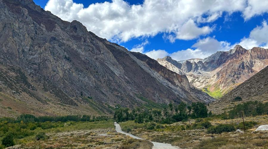
Pictured above: 10.8.24 McGee Creek by Jeff Simpson with Mammoth Lakes Tourism
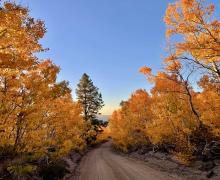
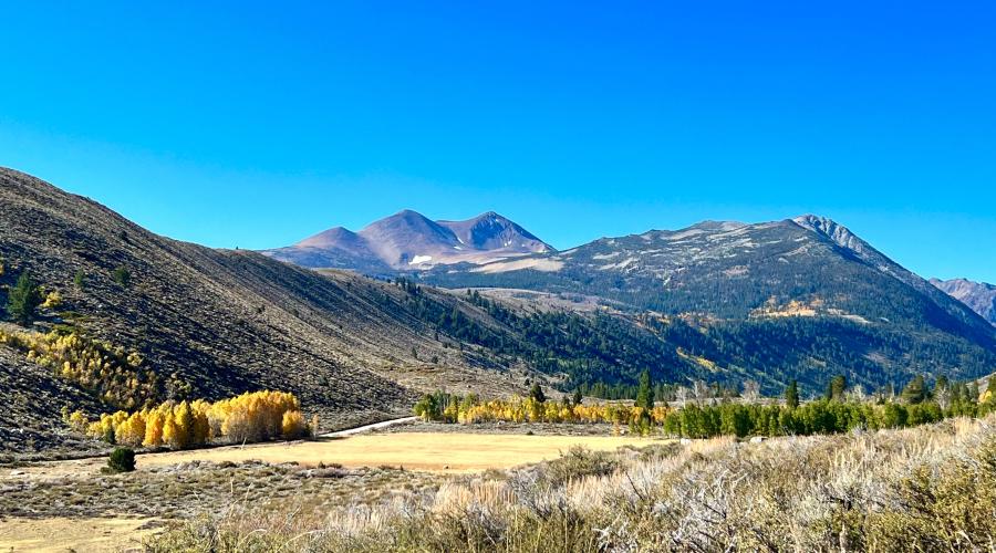
Pictured above: 10.7.27 Conway Summit - Liz Grans, Mono County Tourism
Pictured above: 10.7.24 Twin Lakes Bridgeport - Liz Grans, Mono County Tourism
Pictured above: 10.7.24 Twin Lakes Bridgeport - Liz Grans, Mono County Tourism
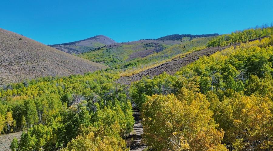
Pictured above: 10.7.24 Cattle Creek Trailhead near Twin Lakes Bridgeport - Liz Grans, Mono County Tourism
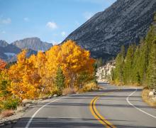
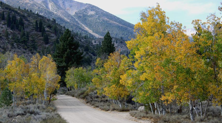
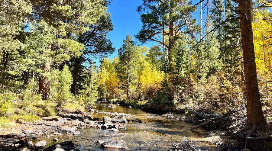
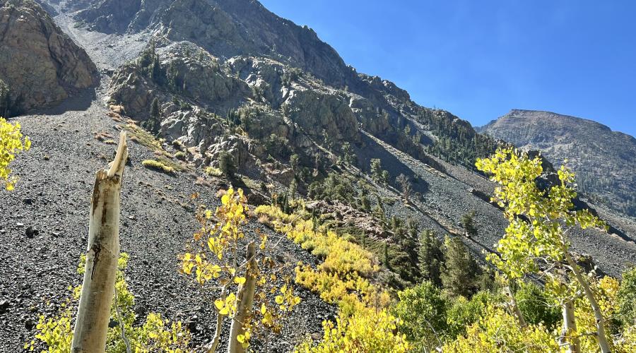
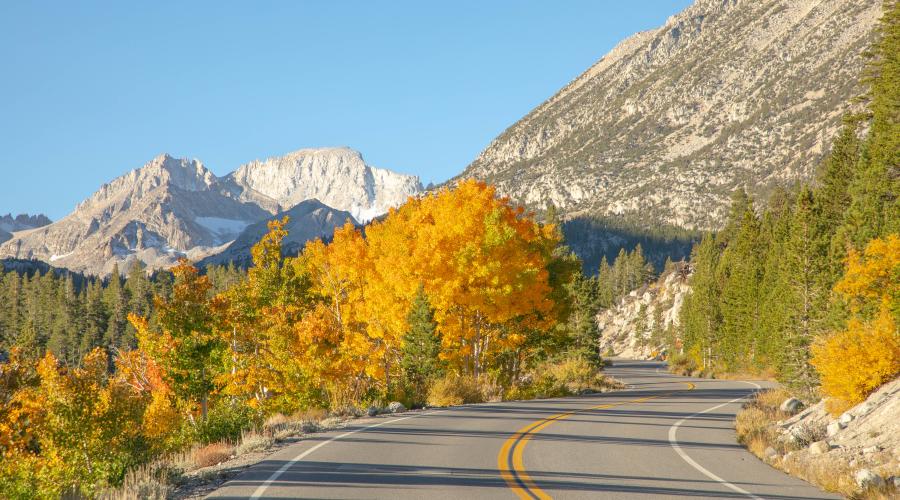
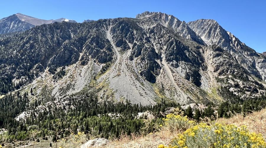
Pictured above: 10.7.24 Rock Creek Road by Jeff Simpson with Mammoth Lakes Tourism
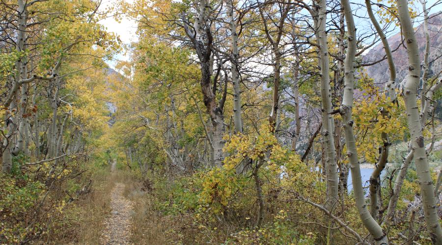
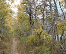
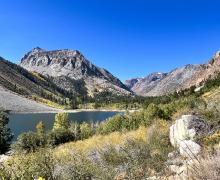
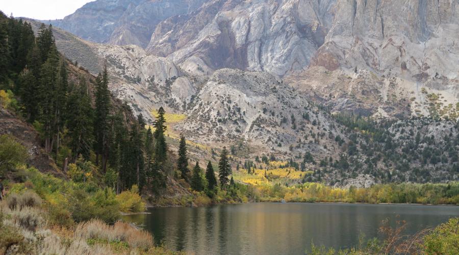
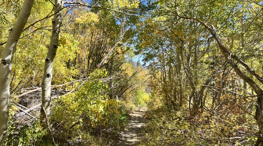
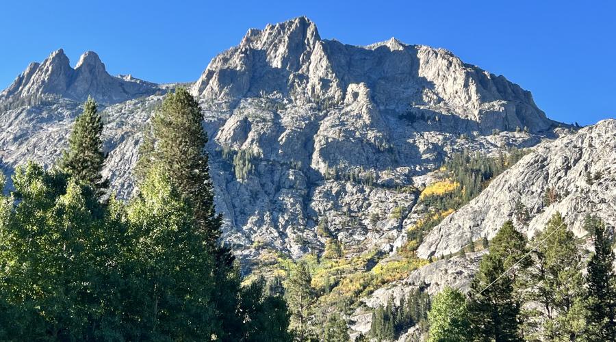
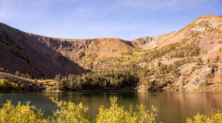
Pictured above: 10.7.24 Trail along Lundy Lake - Liz Grans, Mono County Tourism
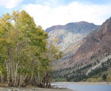
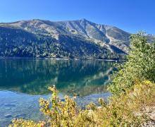
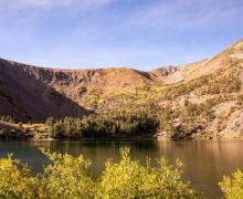
Pictured above: 10.7.24 Lundy Lake - Liz Grans, Mono County Tourism
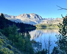
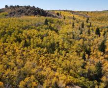
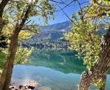
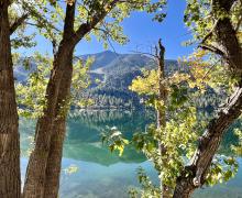
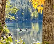
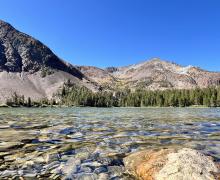
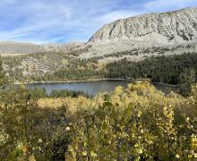
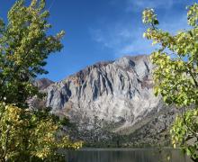
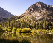
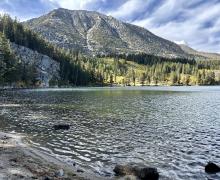
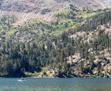
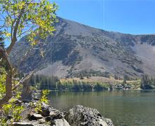
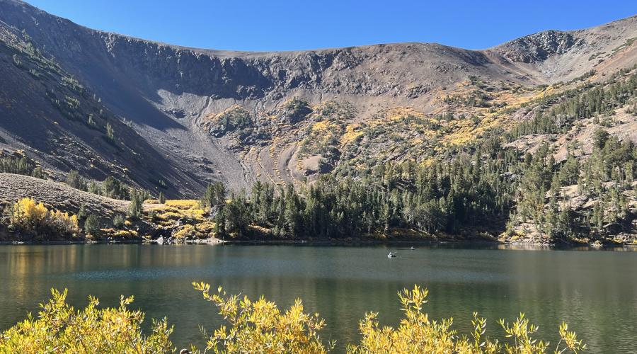
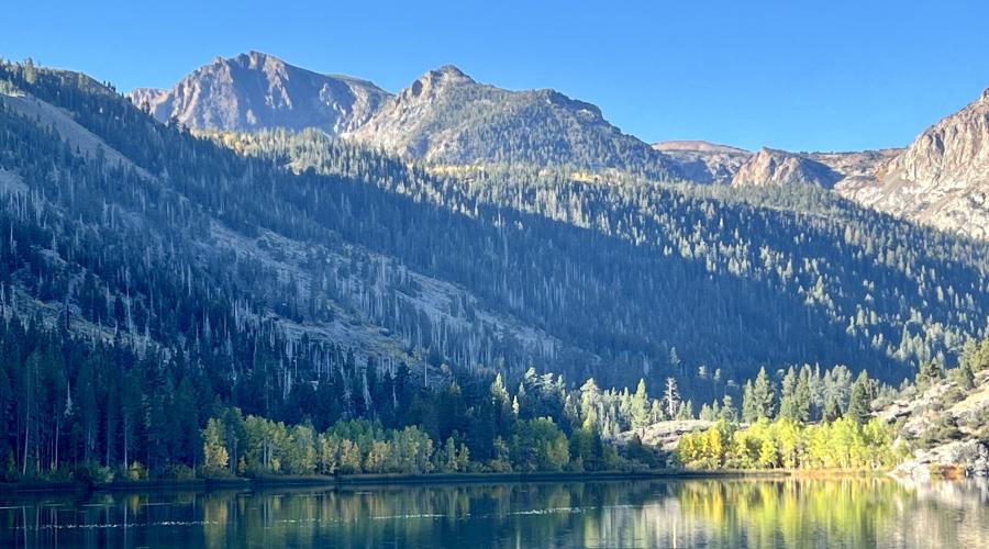
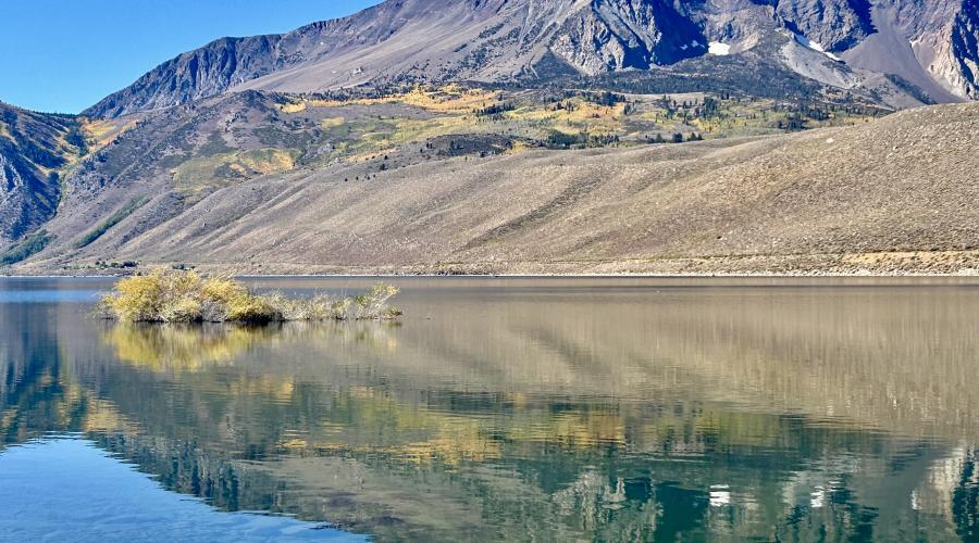
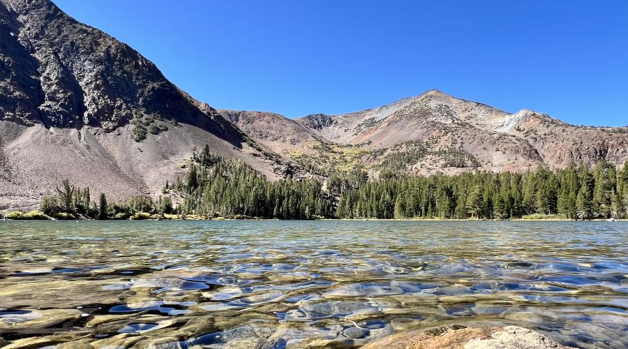
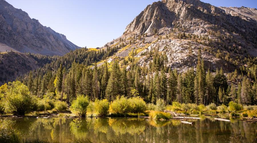
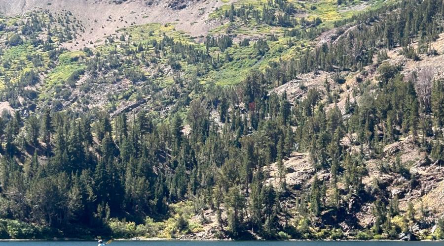
Pictured above: 10.7.24 Convict Lake by Jenna Andersen with Mammoth Lakes Tourism
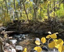
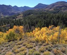
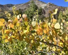
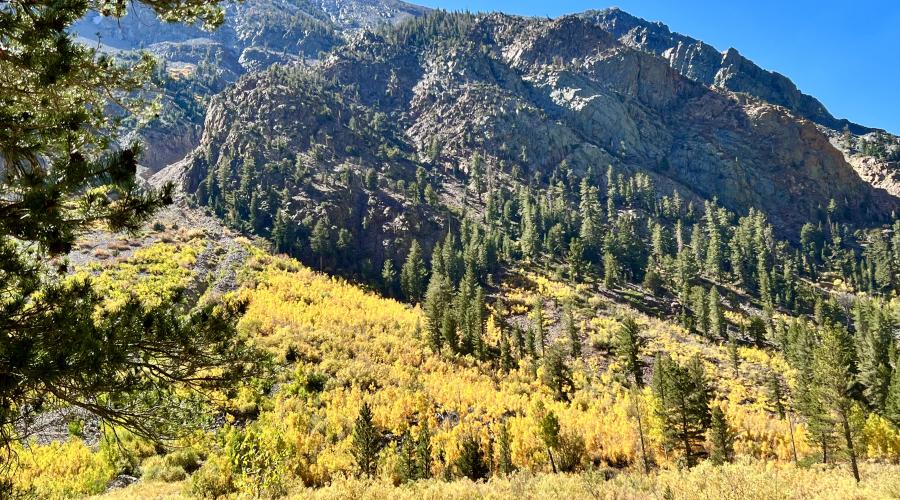
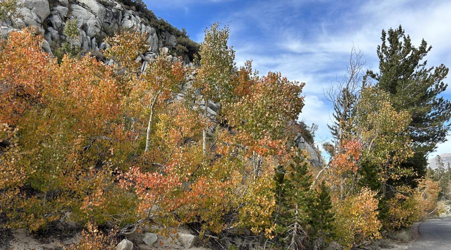
Pictured above: 10.3.24 Green Creek by Amanda Carlson with Mono County Tourism
Pictured above: 10.3.24 Green Creek by Amanda Carlson with Mono County Tourism
Pictured above: 10.3.24 Green Creek by Amanda Carlson with Mono County Tourism
Pictured above: 10.3.24 Green Creek by Amanda Carlson with Mono County Tourism
Pictured above: 10.3.24 Green Creek by Amanda Carlson with Mono County Tourism
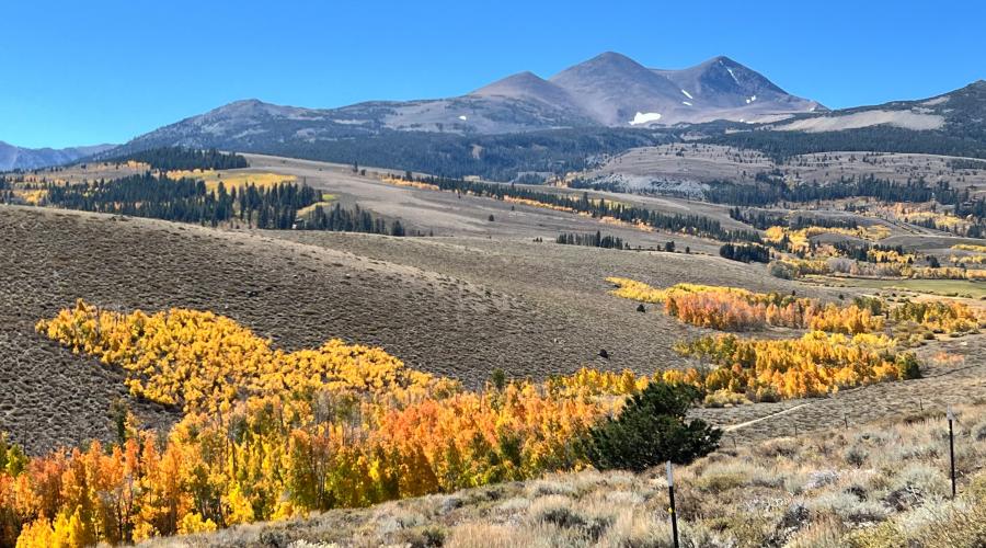
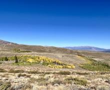
Pictured above: 10.3.24 Dunderberg by Amanda Carlson with Mono County Tourism
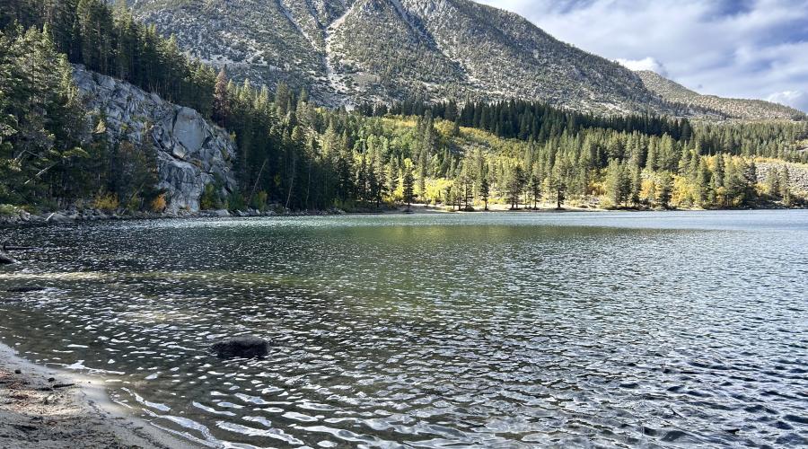
Pictured above: 9.30.24 Virginia Lakes by Amanda Carlson with Mono County Tourism
Pictured above: 9.30.24 Virginia Lakes by Amanda Carlson with Mono County Tourism
Pictured above: 9.30.24 Virginia Lakes by Amanda Carlson with Mono County Tourism
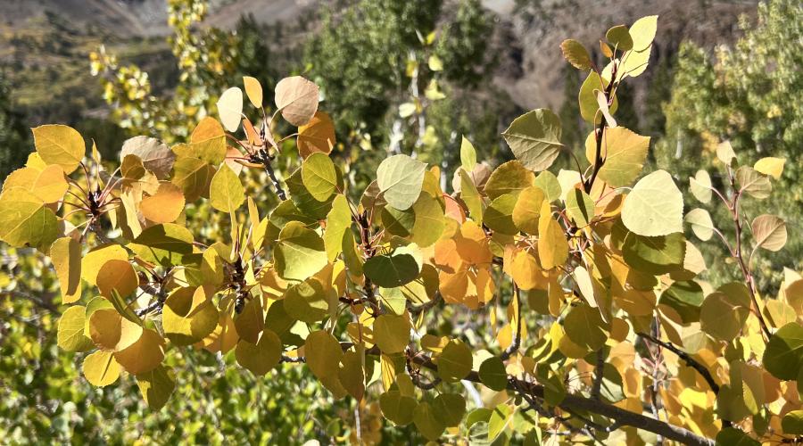
Pictured above: 9.30.24 Virginia Creek by Amanda Carlson with Mono County Tourism
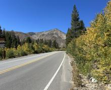
Pictured above: 9.30.24 Tioga Pass by Jeff Simpson with Mammoth Lakes Tourism
Pictured above: 9.30.24 Tioga Pass by Jeff Simpson with Mammoth Lakes Tourism
Pictured above: 9.30.24 Tioga Pass by Jeff Simpson with Mammoth Lakes Tourism
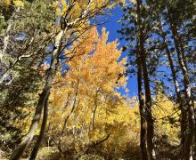
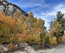
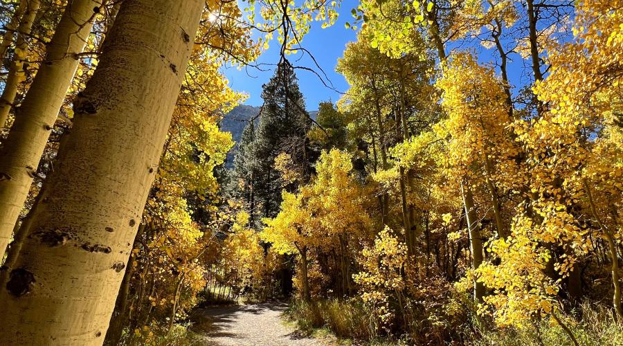
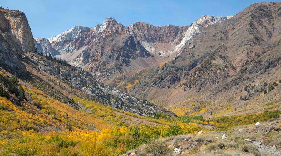
Pictured above: 9.30.24 Lundy Canyon by Amanda Carlson with Mono County Tourism
Pictured above: 9.30.24 Lundy Canyon by Amanda Carlson with Mono County Tourism
Pictured above: 9.30.24 Lundy Canyon by Amanda Carlson with Mono County Tourism
Pictured above: 9.30.24 Lundy Canyon by Amanda Carlson with Mono County Tourism
Pictured above: 9.30.24 Lundy Canyon by Amanda Carlson with Mono County Tourism
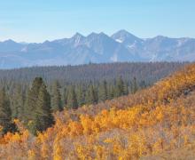
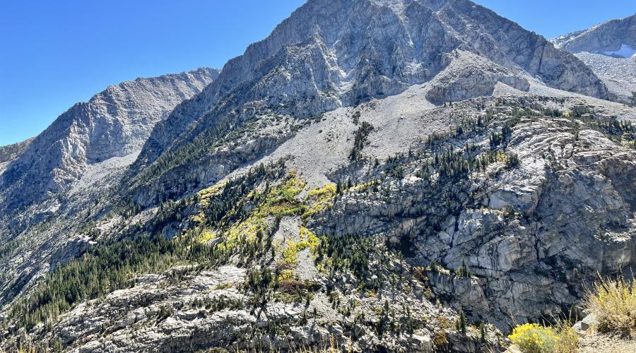
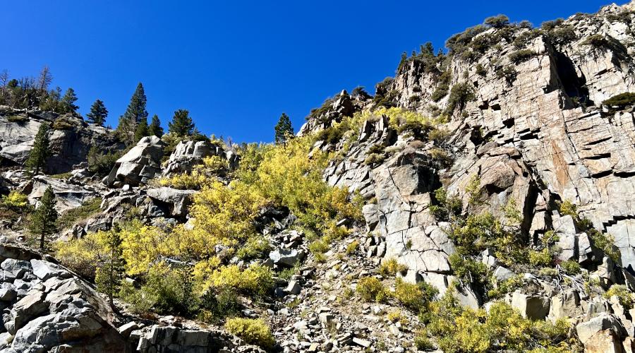
Pictured above: 9.30.24 Rock Creek by Jeff Simpson with Mammoth Lakes Tourism
Pictured above: 9.30.24 Rock Creek by Jeff Simpson with Mammoth Lakes Tourism
Pictured above: 9.30.24 Rock Creek by Jeff Simpson with Mammoth Lakes Tourism
Pictured above: 9.30.24 Rock Creek by Jeff Simpson with Mammoth Lakes Tourism
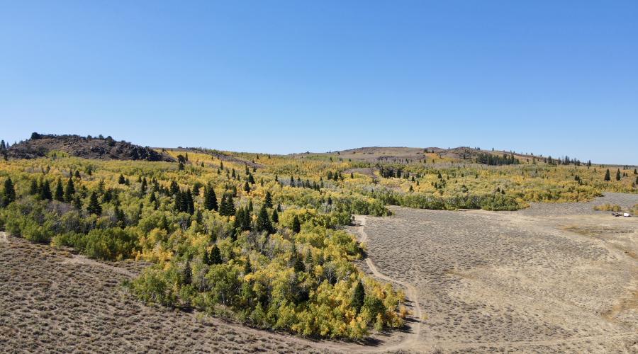
Pictured above: 9.30.24 Sagehen Summit by Jeff Simpson with Mammoth Lakes Tourism
Pictured above: 9.30.24 Sagehen Summit by Jeff Simpson with Mammoth Lakes Tourism
Pictured above: 9.30.24 June Lake by Amanda Carlson with Mono County Tourism
Pictured above: 9.30.24 Gull Lake by Amanda Carlson with Mono County Tourism
Pictured above: 9.30.24 Gull Lake by Amanda Carlson with Mono County Tourism
Pictured above: 9.30.24 June Lake by Amanda Carlson with Mono County Tourism
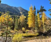
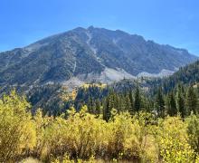
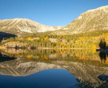
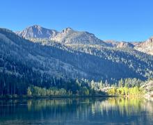
Pictured above: 9.30.24 McGee Creek by Jeff Simpson with Mammoth Lakes Tourism
Pictured above: 9.30.24 - McGee Creek by Robin K. Roberts
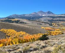
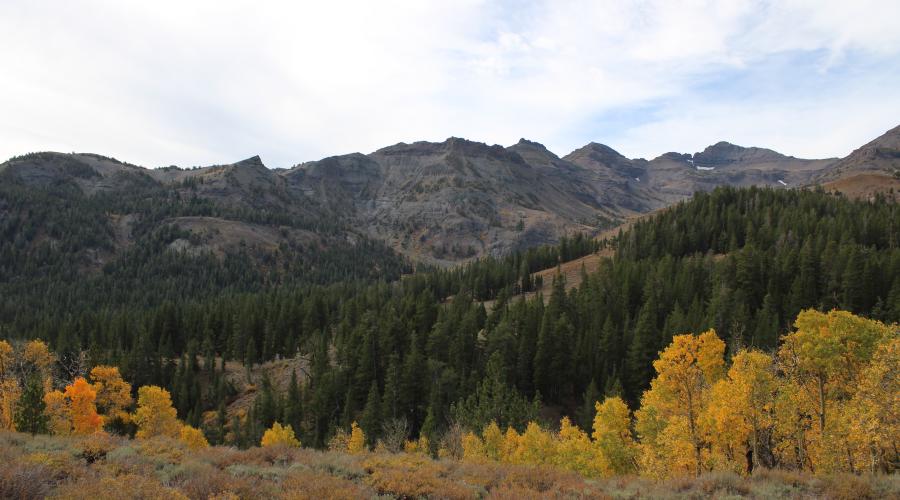
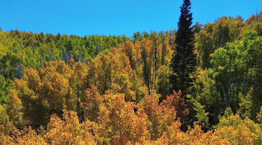
Pictured above: 9.28.24 Sonora Pass by Berlin Del Aguila with Mammoth Lakes Tourism
Pictured above: 9.28.24 Sonora Pass by Berlin Del Aguila with Mammoth Lakes Tourism
Pictured above: 9.26.24 Sagehen by Catherine Hurdle
Pictured above: 9.26.24 Sagehen by Catherine Hurdle
Pictured above: 9.26.24 Grant Lake in the June Lake Loop by Mono County Tourism
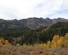
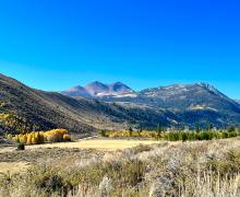
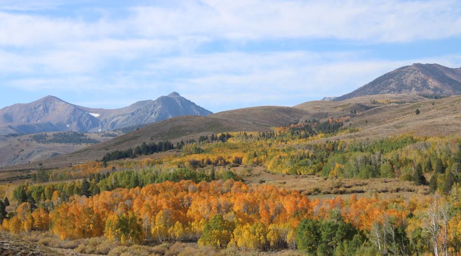
Pictured above: 9.25.24 Monitor Pass by Sean Robinson Mono County
Pictured above: 9.25.24 Monitor Pass by Sean Robinson Mono County
Pictured above: 9.25.24 Monitor Pass by Sean Robinson Mono County
Pictured above: 9.24.24 Twin Lakes, Bridgeport by Mono County Tourism
Pictured above: 9.24.24 Twin Lakes, Bridgeport by Mono County Tourism
Pictured above: 9.24.24 Twin Lakes, Bridgeport by Mono County Tourism
Pictured above: 9.24.24 Twin Lakes, Bridgeport by Mono County Tourism
Pictured above: 9.24.24 Twin Lakes, Bridgeport by Mono County Tourism
Pictured above: 9.24.24 Twin Lakes, Bridgeport by Mono County Tourism
Pictured above: 9.24.24 Virginia Lakes by Mono County Tourism
Pictured above: 9.24.24 Virginia Lakes by Mono County Tourism
Pictured above: 9.24.24 Virginia Lakes by Mono County Tourism
Pictured above: 9.24.24 Virginia Lakes by Mono County Tourism
Pictured above: 9.24.24 Tioga Pass by Mono County Tourism
Pictured above: 9.24.24 Tioga Pass by Mono County Tourism
Pictured above: 9.24.24 Tioga Pass by Mono County Tourism
Pictured above: 9.24.24 Tioga Pass by Mono County Tourism
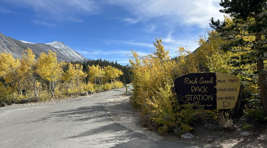
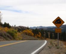
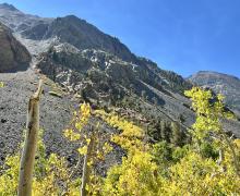
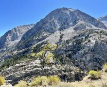
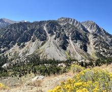
Pictured above: 9.23.24 Rock Creek by Mono County Tourism
Pictured above: 9.23.24 Rock Creek by Mono County Tourism
Pictured above: 9.23.24 Rock Creek by Mono County Tourism
Pictured above: 9.23.24 Rock Creek by Mono County Tourism
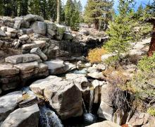
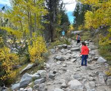
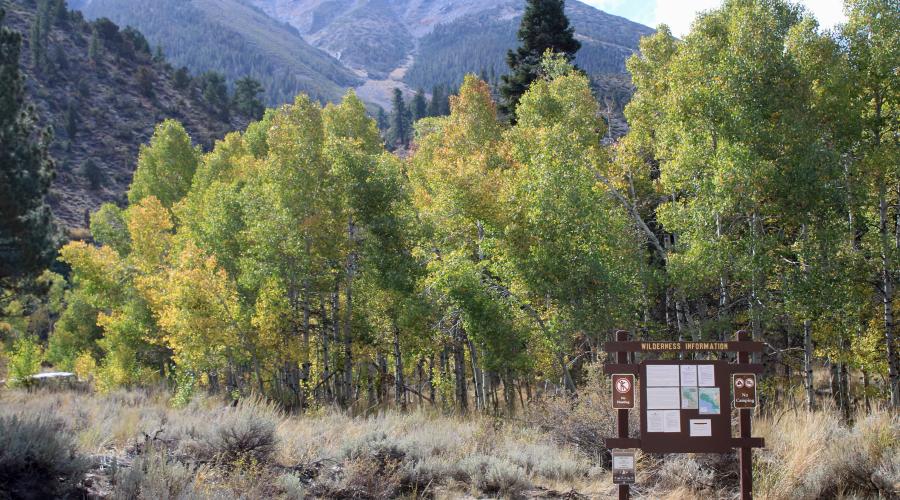
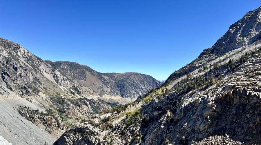
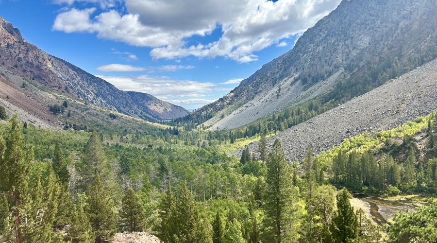
Pictured above: 9.23.24 Little Lakes Valley Trail - Mono County Tourism
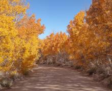
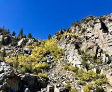
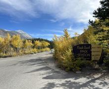
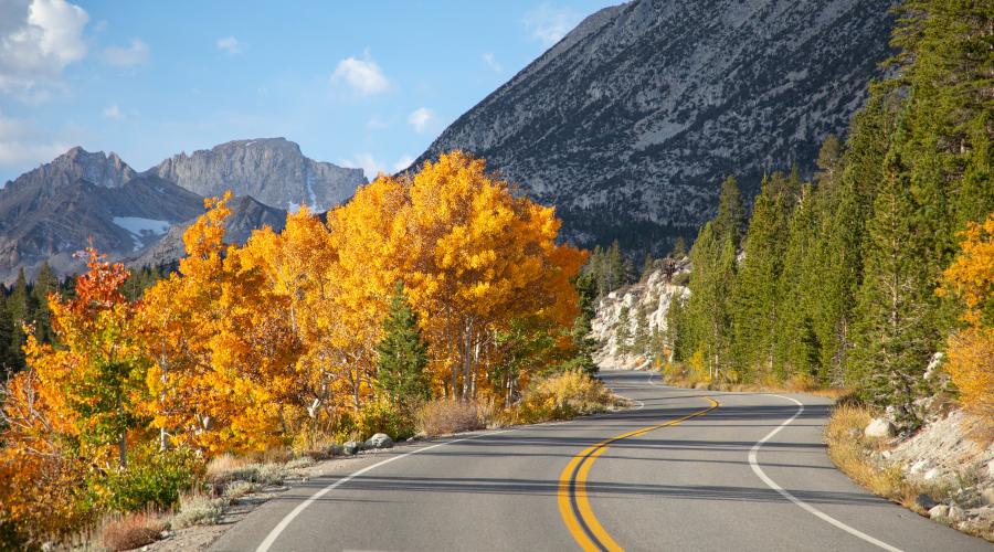
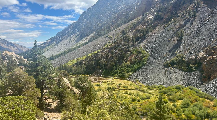
Pictured above: 9.23.24 Rock Creek Road by Mono County Tourism
Pictured above: 9.23.24 Rock Creek Road by Mono County Tourism
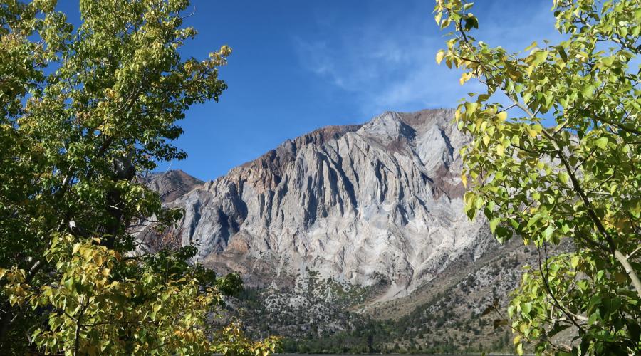
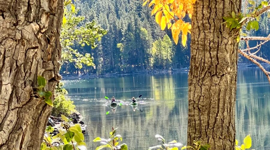
Pictured above: 9.23.24 Convict Lake by Jenna Andersen, Mammoth Lakes Tourism
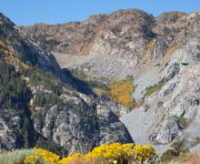
Pictured above: 9.22.24 Lobdell Lake by Berlin DelAguila, Mammoth Lakes Tourism
Pictured above: 9.22.24 Lobdell Lake by Berlin DelAguila, Mammoth Lakes Tourism
Pictured above: 9.22.24 Lobdell Lake by Berlin DelAguila, Mammoth Lakes Tourism
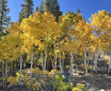
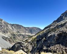
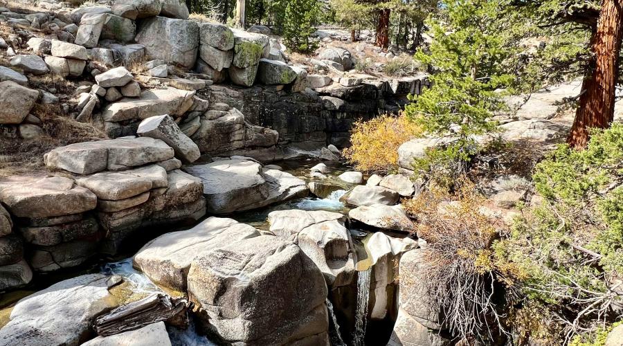
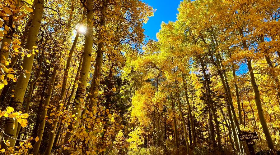
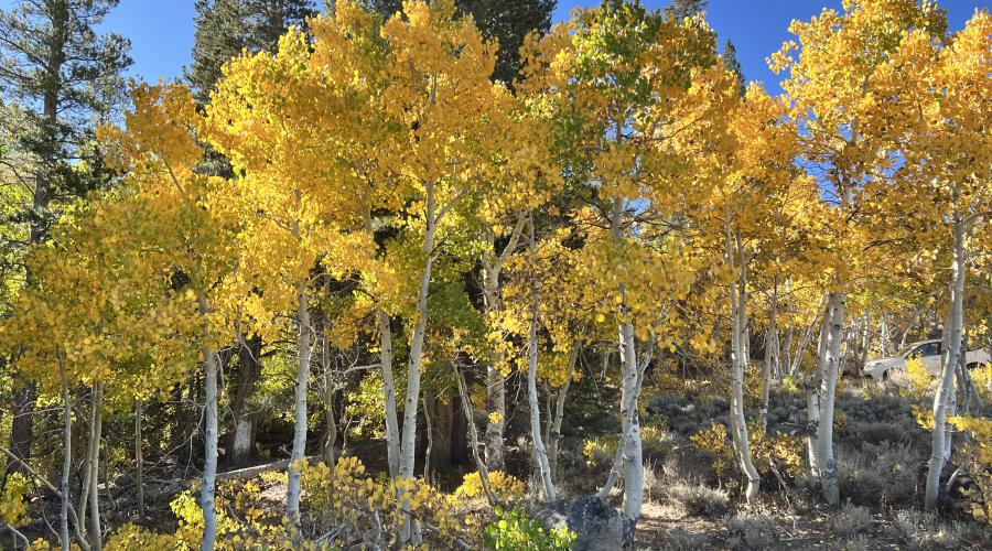
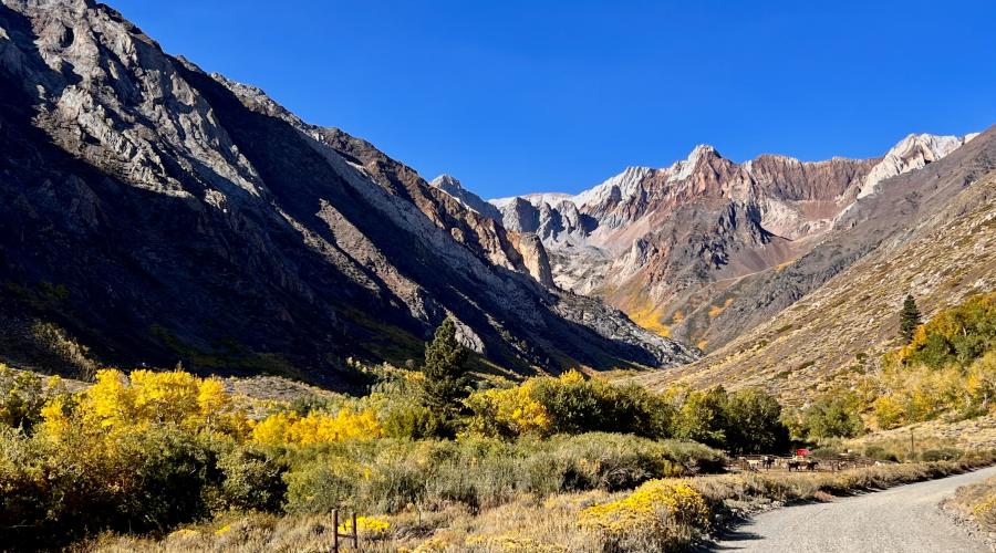
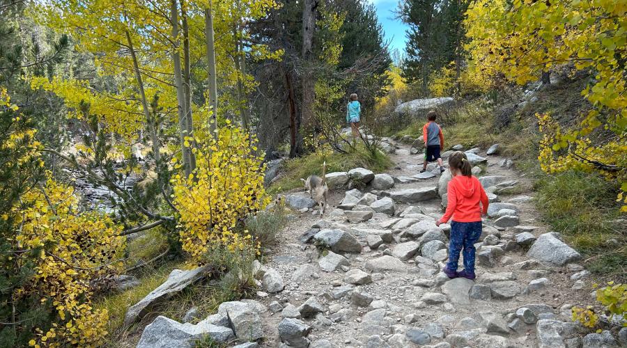
Pictured above: 9.17.24 Lundy Canyon trail - Mono County Tourism
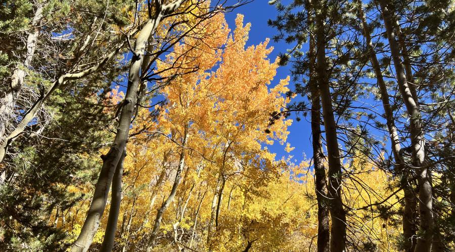
Pictured above: 9.17.24 - Lundy Canyon trail - Mono County Tourism
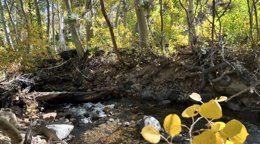
Pictured above: 9.17.24 Deer track on the Lundy Canyon trail - Mono County Tourism
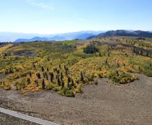
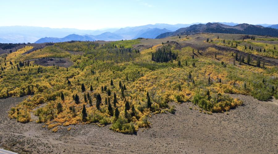
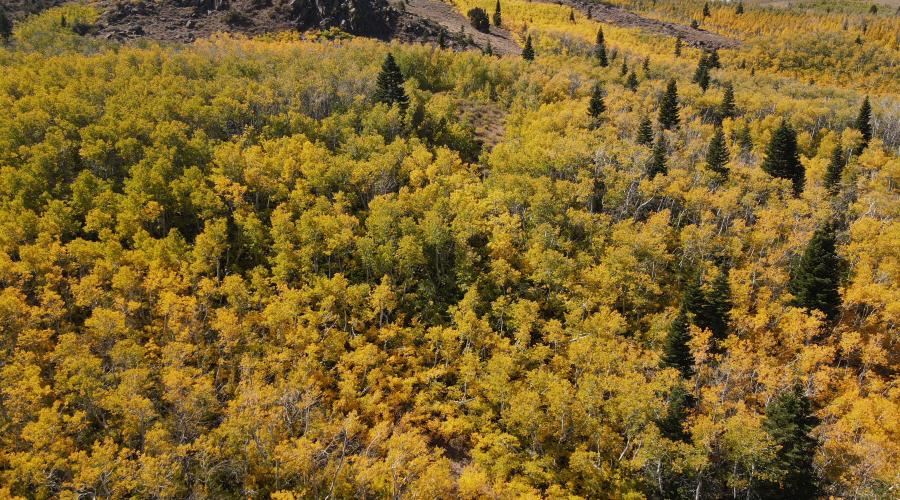
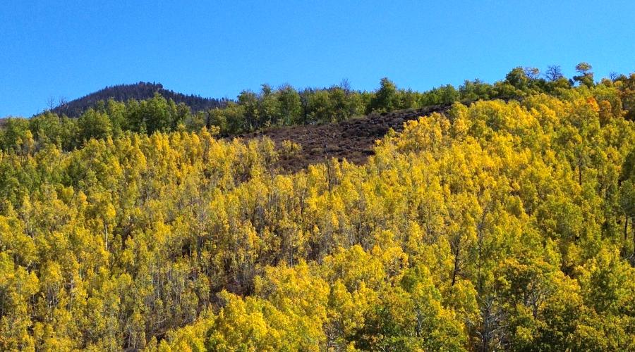
Pictured above: 9.16.24 Vibrant orange at Sagehen Summit - Samantha Lindberg - Mammoth Lakes Tourism
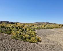
Pictured above: 9.16.24 Sagehen Summit - Samantha Lindberg - Mammoth Lakes Tourism
Pictured above: 9.16.24 Sagehen Summit - Samantha Lindberg - Mammoth Lakes Tourism
Pictured above: 9.16.24 Tioga Pass - Samantha Lindberg - Mammoth Lakes Tourism
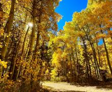
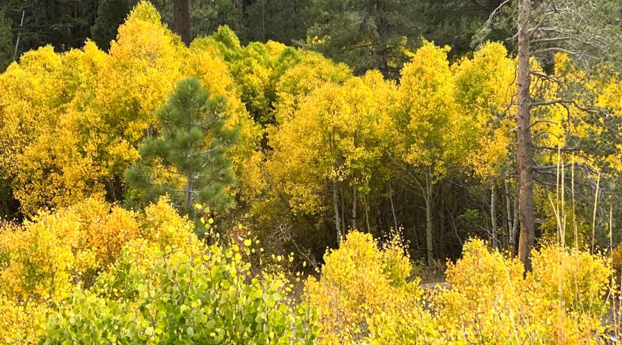
Pictured above: 9.16.24 Lundy Canyon Fall Colors - Samantha Lindberg - Mammoth Lakes Tourism
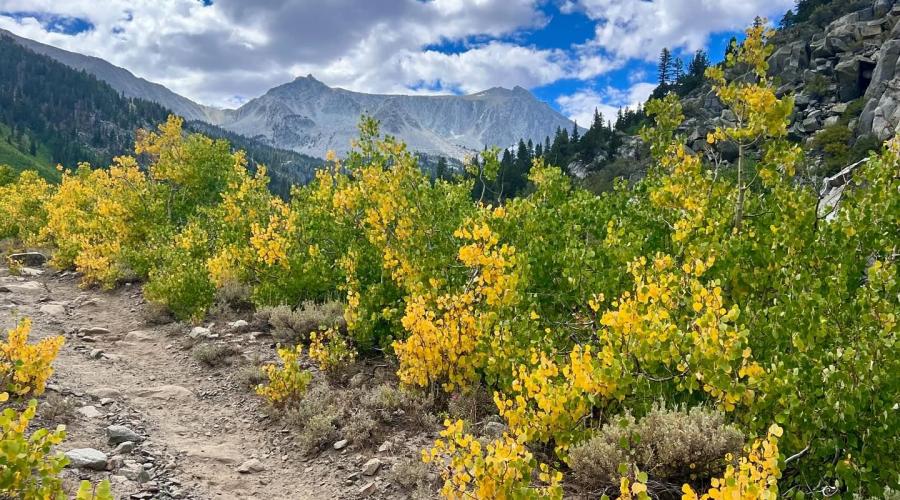
Pictured above: 10.10.24 Sonora Pass by Amanda Carlson with Mono County Tourism
Pictured above: 9.16.24 Virginia Lakes - Samantha Lindberg - Mammoth Lakes Tourism
Pictured above: 9.16.24 McGee Canyon - Mono County Tourism
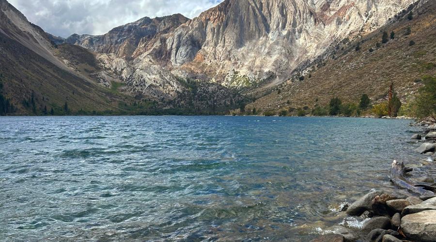
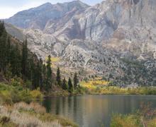
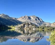
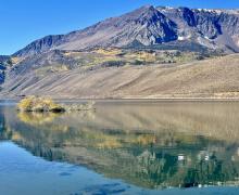
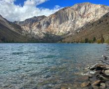
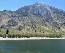
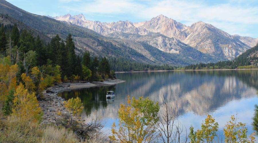
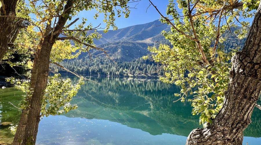
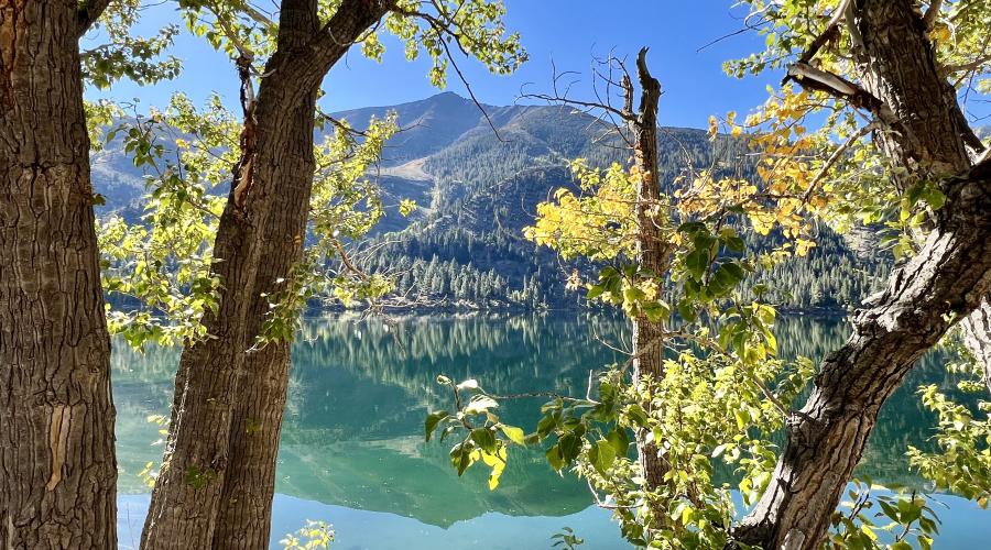
Pictured above: 9.16.24 Convict Lake - Mono County Tourism
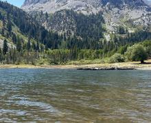
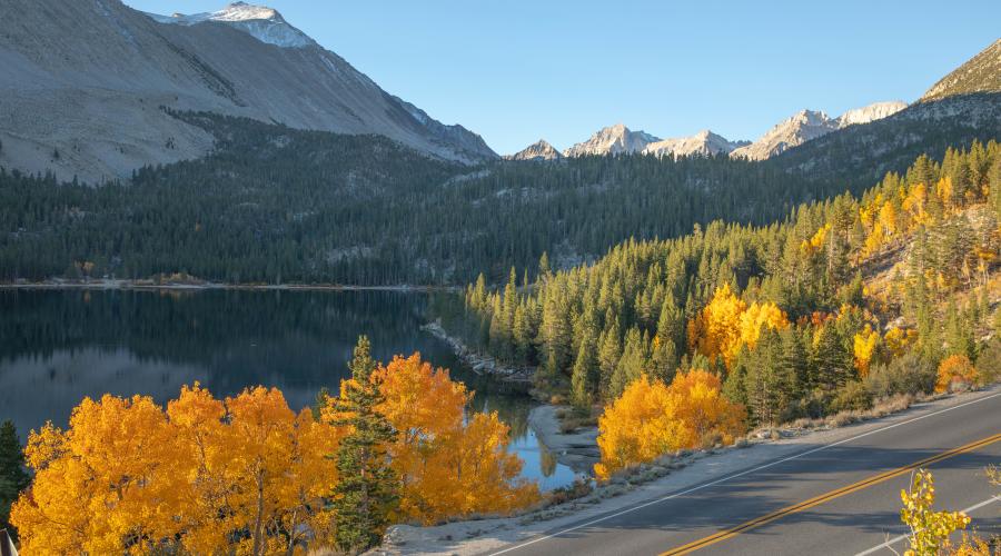
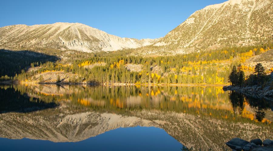
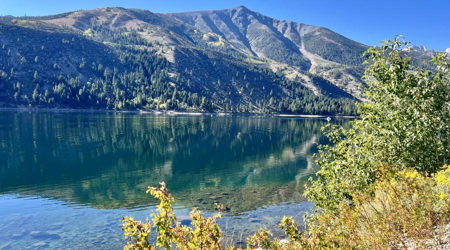
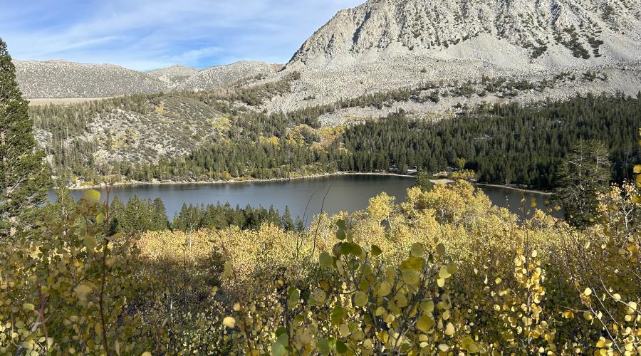
Pictured above: 9.15.24 Rock Creek Lake - Mono County Tourism
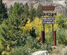
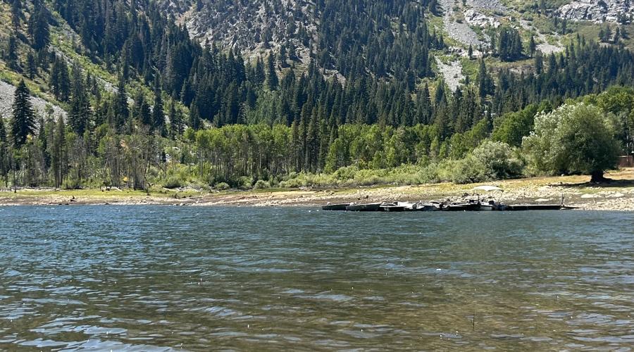
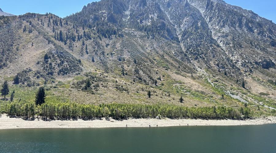
Pictured above: 9.5.24 Virginia Lakes - Mono County Tourism
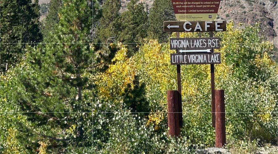
Pictured above: 9.5.24 Virginia Lakes - Virginia Lakes Resort sign - Mono County Tourism
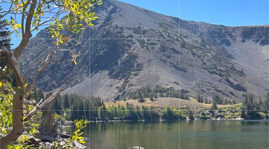
Pictured above: 9.5.24 Virginia Lakes - Mono County Tourism
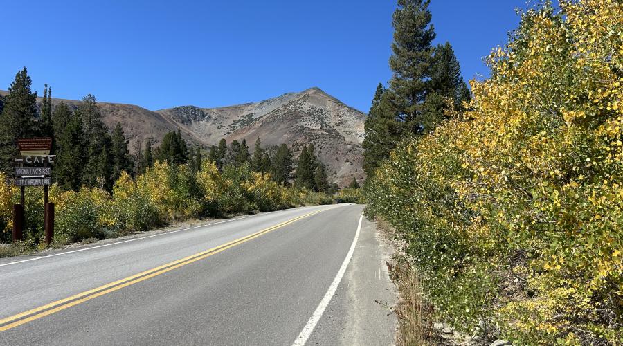
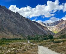
Pictured above: 9.5.24 Virginia Lakes Road - Mono County Tourism
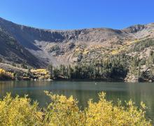
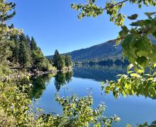
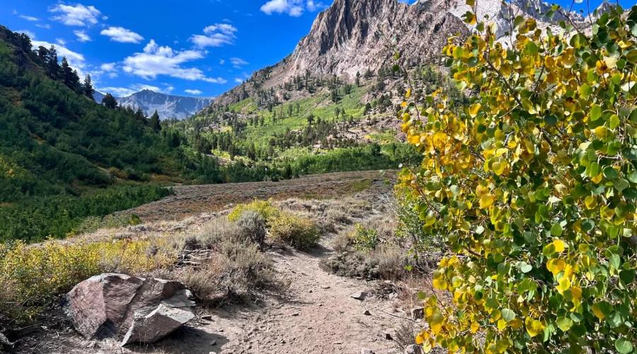
Pictured above: 9.5.24 Lundy Lake - Mono County Tourism
Pictured above: 9.5.24 Lundy Lake - Mono County Tourism
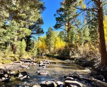
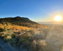
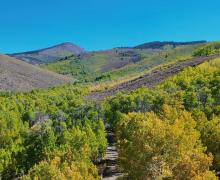
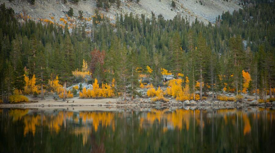
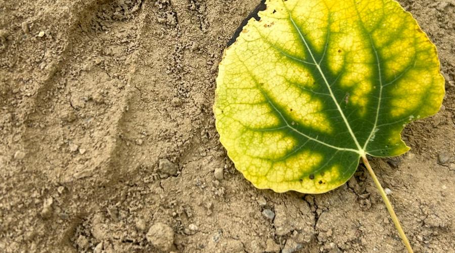
Pictured above: 9.1.24 McGee Creek trail by Allison Shaw