Fall Colors
Visit one of America's Best Fall Foliage Forests!
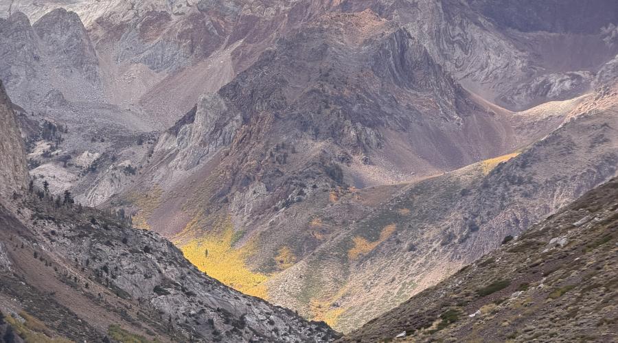
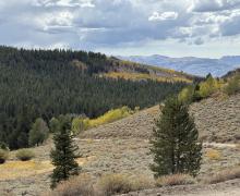
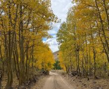
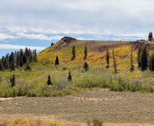
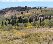
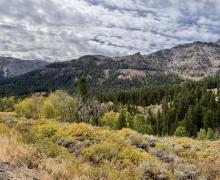
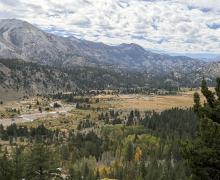
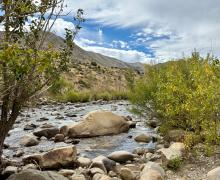
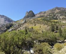
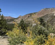
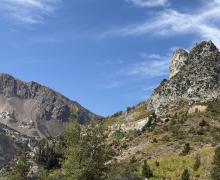
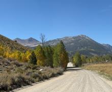
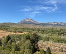
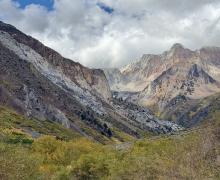
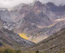
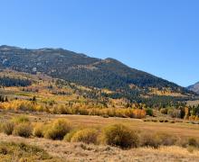
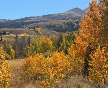
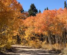
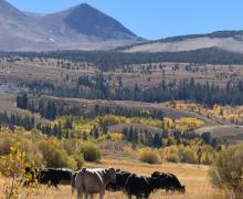
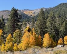
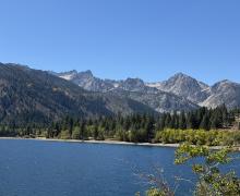
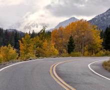
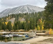
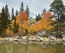
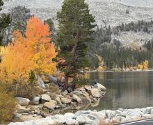
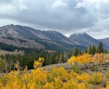
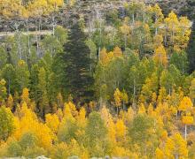
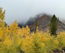
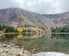
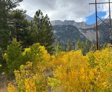
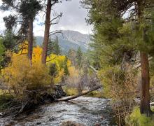
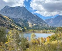
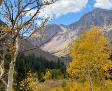
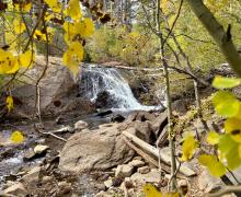
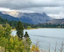
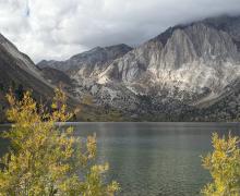
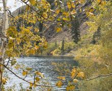
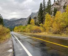
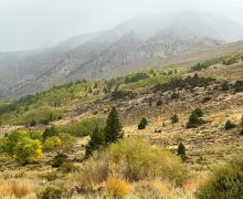
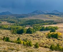
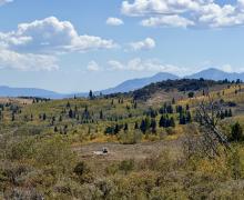
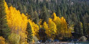
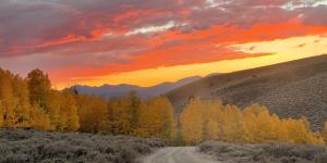
Mono County and the surrounding Eastern Sierra provide the best show of glowing golden-orange-crimson fall colors in California and the western United States. Our natural landscape in the Eastern Sierra, where rugged granite canyons are carved by rushing streams and framed by an azure sky, offers a spellbinding contrast of colors during autumn. Starting in the higher elevations and working down, the colors glow starting mid-September through October all along US 395. Travel to Rock Creek, Mammoth Lakes, the June Lake Loop, Yosemite (Tioga Pass), Lundy Canyon, Bridgeport, Sonora Pass, Walker, Coleville and beyond to see fall colors at their finest.
FALL COLOR REPORT
Report Date: September 23, 2026
(Updated every Wednesday by 6pm throughout the season)
Lots of color now, and much more to come!
It’s officially fall and the aspens got the message. If you’re coming this weekend, there is lots of color to see! If you’re not, don’t worry! Based on what we’re seeing now, the next 3–5 weeks should bring plenty of fall color across the county, Mother Nature dependent, of course. The clock is officially ticking, though.
This weekend and next, Sagehen Summit (Update 9/25: Sagehen progressed quickly and is now 75-100% GO NOW), Rock Creek, and Virginia Lakes are the top places to visit. They’re the first three locations moving into the 50–75% “Go Now!” status, with the best yellows and oranges we’ve seen yet. But no matter where you are coming from or where you go, fall will be there the whole way. Our spectacular mountain passes (Tioga, Sonora, and Monitor) and many if not all locations along US 395 have gorgeous patches (10-50%) of color. While others may be 0-10% “Just Getting Started”, it’s still enough to feel like fall.
That’s the beauty of our 108-mile-long county and its varied elevations. Fall doesn’t happen all at once here. Color moves and changes from the highest elevations down through the valleys, with weather adding a little unpredictability along the way. That said, it’s always a good idea to keep an eye on the forecast, and pack layers this time of year.
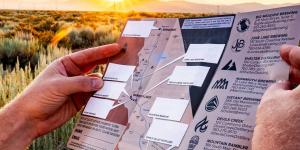
The fall events continue this weekend with lots of running (Mammoth Trailfest, Bridgeport’s Ridge Rambler Half Marathon and 5K, and The Mammoth, a 218+ mile race - yes, 218!) and lots of beer. There are just a few tickets left for the June Lake Autumn Beer Fest. Can’t make it? Grab a map for the Eastern Sierra Ale Trail, visit a local brewery, and enjoy a different kind of trail experience.
And there’s plenty more on the calendar in the weeks ahead, including the Benton Music Festival on October 3, Leaves in the Loop in June Lake October 9–11, and Bridgeport’s first annual Oktoberfest on October 10. Check out our full fall events calendar for everything happening around the county.
Guide:
0-10% Just Starting
10-50% Patchy
50-75% Near Peak (Go Now!)
75-100% Peaking (GO NOW!)
Past Peak (You Missed It)
Locations from north to south:
WALKER / COLEVILLE / TOPAZ
Sonora Pass (9,623') - 10-50% Patchy. Sonora is stunning and overall a solid 50%. Still pretty green up to 7,000’ or so, then beautiful color around the pack station and Leavitt Trailhead. Climb higher and the colors move into the 50-75% range. A few small spots could be considered past-peak, or will be soon with predicted winds, but no matter, it’s still a spectacular and colorful drive or place to spend the day hiking, horseback riding, and visiting Leavitt Falls.
Lobdell Lake Road (9,274') - 10-50% Patchy. This area is 50%. There is a beautiful display of color and enough green on the far end to not feel comfortable moving it to Near Peak but this is a spot to hit soon for sure.
Monitor Pass (8,314') - 10-50% Patchy. Monitor offers a very different pass experience from Tioga and Sonora - wide open views make it a great choice for a road trip to or from Mono County. There are several aspen groves up high that have lovely color - this area is heading to 50-75% very soon - but there’s enough green to make us think it will be a great fall color drive for another week or two.
West Walker River, Walker, Coleville and Topaz (5,200') - 0-10% Just Starting. Majority is still green, but creeping to a solid 10%. This area typically changes in October, so give it time. That said, a few trees have thrown in the towel early, a bit brown or blown off. We didn’t mind one bit during our picnic break, nor did the angler fly-fishing the river!
Please Note: Lobdell Lake Road is in rough shape, and we do not advise driving past the recommended turnaround spot (see map). Up to that point, you’ll enjoy big, beautiful views and have a safe place to turn around. Beyond, expect severe washouts, water crossings, deep ruts, and rough terrain—not worth it, especially since the lake itself is a low reservoir. Burcham Flat Road (county-maintained) is generally well-graded but does show some wear and tear. Best access is from the south end via US 395 (just south of Sonora Pass), though a loop can be made with East Side Lane in Walker. Keep in mind that cell service is spotty to nonexistent, and a tow would be extremely expensive.
BRIDGEPORT / VIRGINIA LAKES
Virginia Lakes (9,819’) - 50-75% Near Peak (Go Now!). The bottom half of the road all the way to the residential area has a beautiful display of color in all shades. It's Stunning. Just past the residential area all the way to just below the Big Virginia Parking lot - against the road there is significant leaf loss, but head down to Little Virginia and the Resort and the color is still apparent. Then arrive at Big Virginia and the groves around the lake are just starting to see their first touches of yellow.
Conway Summit (8,143) - 10-50% Patchy. More color has started to show up from last week. But still, plenty of green for more color to appear in the coming weeks.
Dunderberg Meadow - 10-50% Patchy. This area is 50%. There is a beautiful display of color and enough green on the far end to not feel comfortable moving it to Near Peak, but this is a spot to hit soon for sure.
Green Creek - 50-75% Near Peak (Go Now!).This area is closer to 55% but has a lot of color right now. Another great place to see more immediately.
Summers Meadow (7,200') - 10-50% Patchy. The higher elevations along the ridge offer a beautiful display of the color to come and still carry most of the color in this area. More to come from this area in the coming weeks.
Twin Lakes (7,000') - 10-50% Patchy. There is some minimal additional color here so we are moving it up but would classify this as about 20%. More to come here. Check out the Robinson Creek and Horsetail Fall trails or get on the water (rent a boat from Annett’s or Twin Lakes Resort) for a lovely day.
Bridgeport/Lee Vining Tip: Bodie State Historic Park is still open and not to be missed – if you’re in this area, go explore the weathered streets and historic buildings at the best-preserved ghost town of the California Gold Rush!
LEE VINING
Tioga Pass (9,943') - 10-50% Patchy. The pass is as close to 50% as you can get. If we get some weather that could dictate what this area looks like. If not, it still has a bit more change in it.
Lee Vining Canyon (6,781') - 0-10% Just Starting. Little spots of yellow and orange, especially around the water tank. If you want to see any color, you really need to drive up Lee Vining Creek past Aspen Campground. As you pass the waterfall at Big Bend, it's clear there is still plenty of water keeping these trees green. Pictures in the report are from the groves between Aspen and Big Bend campgrounds.
Lundy Lake & Canyon (7,858') - 10-50% Patchy. Below the lake/campground area would fool you and make you think there is no color to see but we would encourage you to adventure just past the resort and maybe take a hike up in the canyon. Here is where the true beauty begins. Our Camera was so dazzled it died halfway up the trail. We would still put the canyon at 10-50% with the trailhead and above being closer to 50%.
BENTON & 120 EAST
Sagehen Summit (8,139’) - updated 9/25: Sagehen progressed quickly and is now 75-100% GO NOW.
Please Note: Sagehen Summit is a remote area accessed via dirt road with no cell service or facilities. Stop at a visitor center in Lee Vining before heading out, and bring plenty of gas and water. Wildlife is abundant here, so drive slowly, pack out all trash, and use designated parking or pullouts (never stop in the road). Enjoy the colors on foot and watch for cars and OHV riders.
JUNE LAKE LOOP
June Lake Loop/Hwy 158 (7,654') - 0-10% Just Starting. Though there are some spots on the hillsides with color, most everything in the loop is still green with an occasional shift to yellow. We do not have much change here and will wait for it to showcase itself in the coming weeks. The Parker bench is the highlight of color on the hillside right now.
MAMMOTH LAKES
Follow Visit Mammoth for the most up-to-date information for Mammoth Lakes: VisitMammoth.com
CROWLEY LAKE/MCGEE CREEK/CONVICT LAKE
McGee Creek Canyon (8,600’) - 0-10% Just Starting. This canyon is gorgeous right now but still just getting started. Most of the color is just about a mile up trail and beyond. Great picnic, great hike (start early, as the exposed trail can get hot), and an even better trail ride with McGee Pack Station. Early in the morning we noticed some mosquitos by the creek.
Convict Lake (7,850') - 0-10% Just Starting. The grove at the back of the lake does have a bit more color and also may have lost a bit in the last windstorm. But still, lots of green, especially along the trail at the front of the lake and on the shale beach.
ROCK CREEK CANYON
Rock Creek Road (9,600’) - 50-75% Near Peak (Go Now!). The lower half of the road is 10-50% - mostly green, with random pops of yellow. Higher up, some of the yellow, orange, and red is wildly gorgeous right now, making it 50-75%. But in most cases, where you see burnt orange and yellow aglow, turn around and green groves rustle steadily in the wind. If Rock Creek is your favorite, go now or soon for the upper groves. Wait a little longer for the lower half and Lower Rock Creek Road and trail.
Please remember that parking is very limited, especially the closer you get to the Mosquito Flat trailhead. Please do not park along the side of the road and use designated parking areas. This may mean you have to walk farther to get to the trailhead.
BISHOP & INYO COUNTY
Follow Bishop Chamber of Commerce (aka Visit Bishop) for the most up-to-date information for the Bishop area: BishopVisitor.com
EASTERN SIERRA & ALL OF CALIFORNIA
Follow California Fall Color at CaliforniaFallColor.com
Fall Color Safety Tips:
- Be aware of wildlife: Animals (like black bears) are preparing for winter and others (like mule deer) are migrating. Slow down and be cautious when driving, especially early in the morning or late in the evening.
- Park safely: Use designated parking areas and avoid parking in the middle of the road or on vegetation. Some roads are narrow and parking is very limited. We know it's hard to skip a spot, but if you can't find an appropriate place to park you may need to come back another time.
- Road safety: our roads can be narrow, winding, and have several blind spots. With so many out walking, taking photos, biking, and driving (+ wildlife!), please be especially alert on the roads. It may be tempting to Just stop real quick and grab a picture, but you never know how fast someone might come around the corner. Everybody is wrong so avoid this situation and follow the rules of the road.
- Be aware of changing weather. Weather can change quickly in the mountains; always check weather and road conditions before and during your visit.
- Please remember to Leave No Trace and always mind your Mountain Manners
- Communicate with others: many areas of Mono County have no or very little cell service. Whether you're driving, hiking, or any other activity, please let someone know where you are going and when you plan to be back.
- Stay on trails: if you're hiking this fall, please know that staying on designated trails ensures safety, protects plants and animals, minimizes environmental impact, and prevents erosion... to name just a few reasons. Camp Like a Pro and check for any alerts, notices, and fire restrictions.
2026 Fall Color Season
Photos from the 2026 Fall Color Season
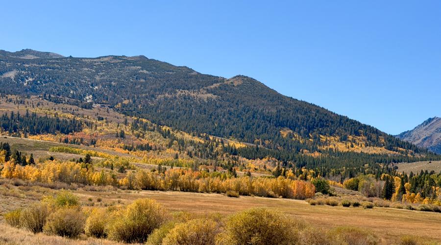
Pictured above: 9.29.26 Dunderberg Meadow Road - Emily Bryant, Mono County Tourism
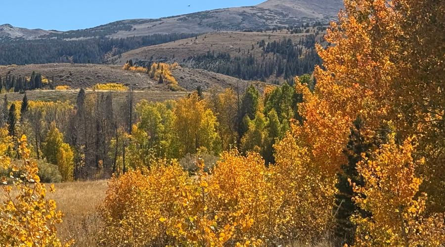
Pictured above: 9.29.26 Dunderberg Meadow Road - Amanda Carlson, Mono County Tourism
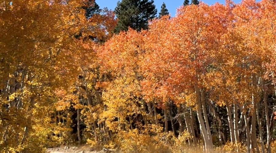
Pictured above: 9.29.26 Dunderberg Meadow Road - Emily Bryant, Mono County Tourism
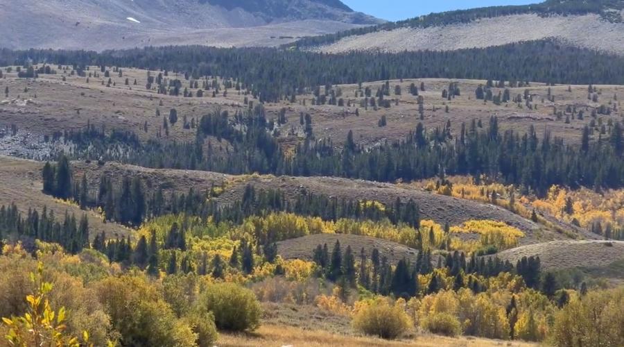
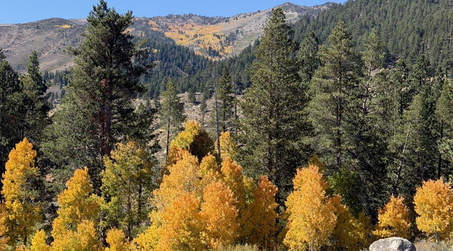
Pictured above: 09.29.26 Twin Lakes, Bridgeport - Emily Bryant, Mono County Tourism
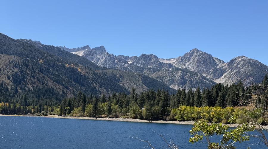
Pictured above: 9.29.26 Twin Lakes, Bridgeport - Emily Bryant, Mono County Tourism
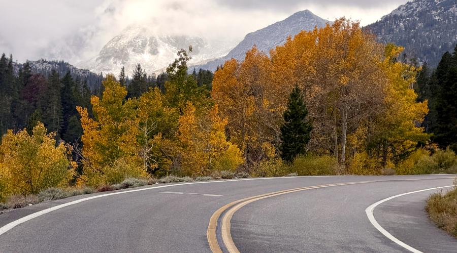
Pictured above: 9.28.26 Rock Creek - Emily Bryant, Mono County Tourism
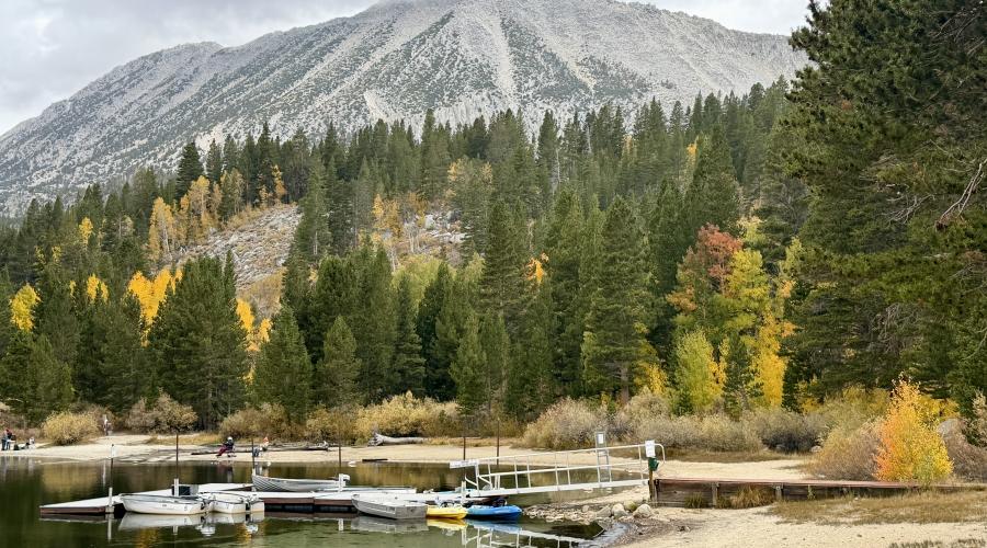
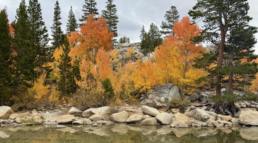
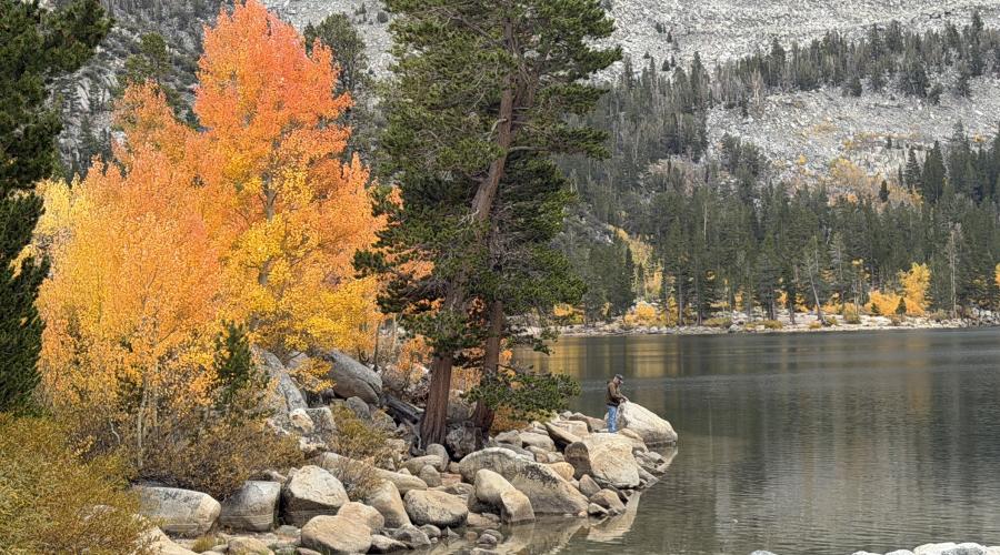
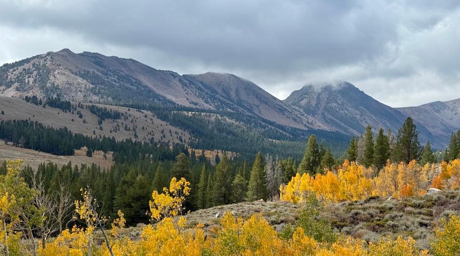
Pictured above: 9.28.26 Virginia Lakes - Amanda Carlson, Mono County Tourism
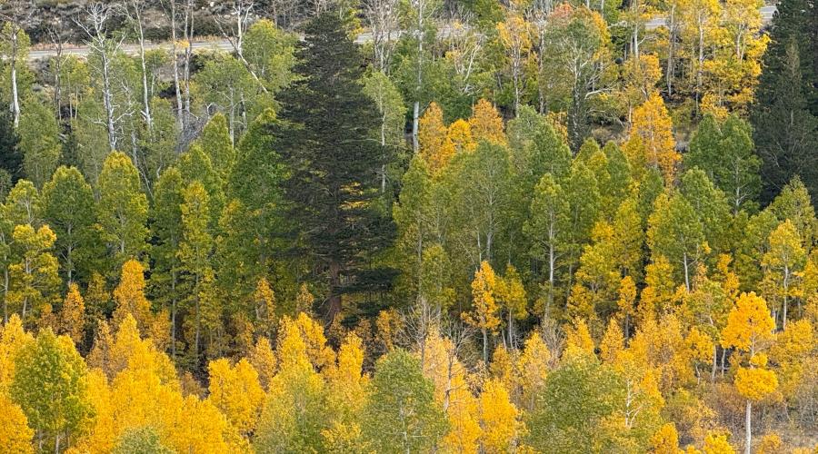
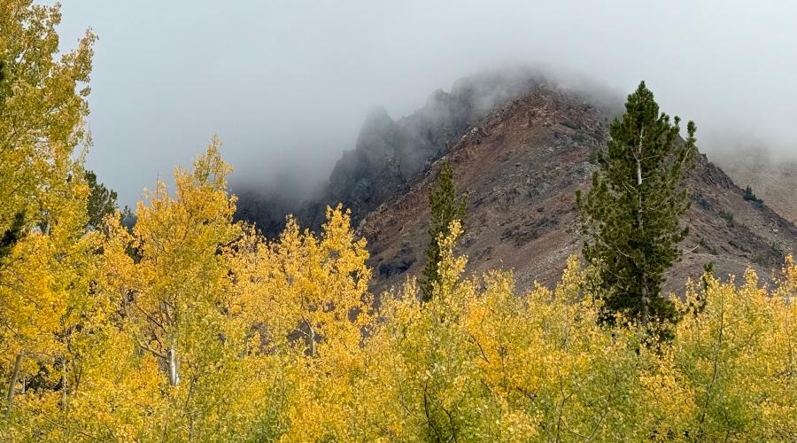
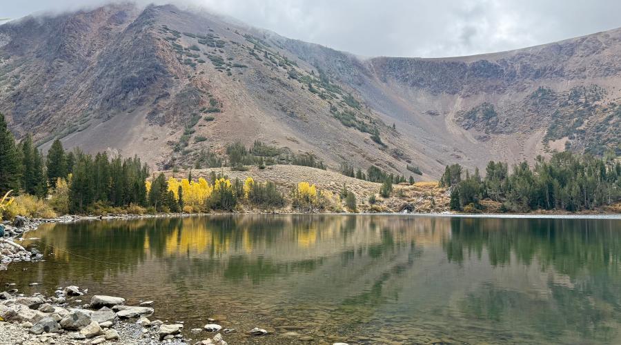
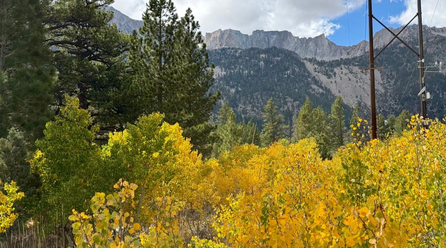
Pictured above: 9.28.26 Lee Vining Canyon - Amanda Carlson, Mono County Tourism
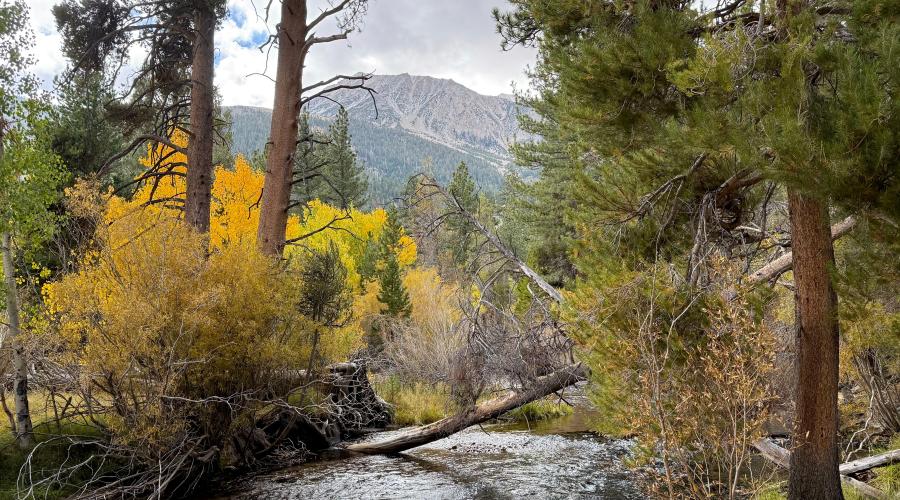
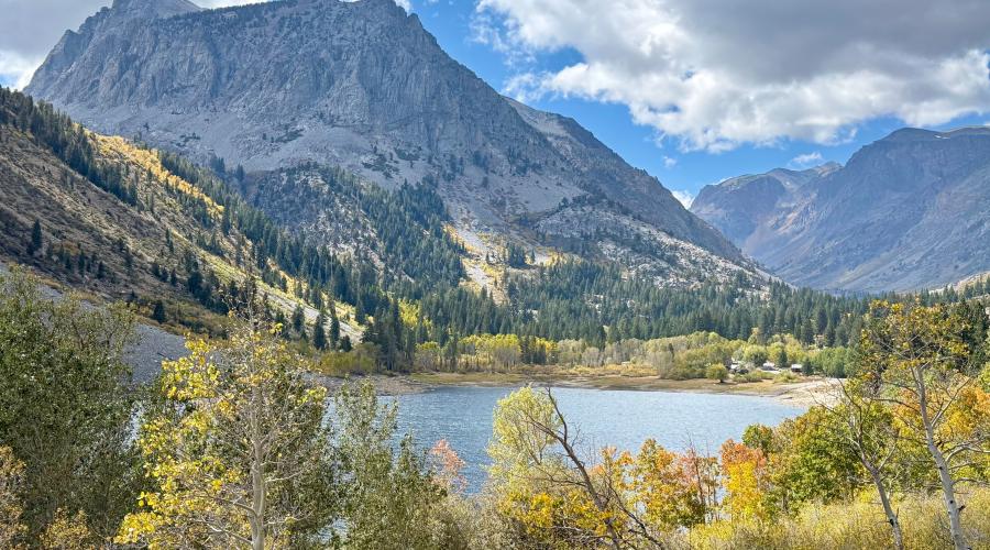
Pictured above: 9.28.26 Lundy Canyon - Amanda Carlson, Mono County Tourism
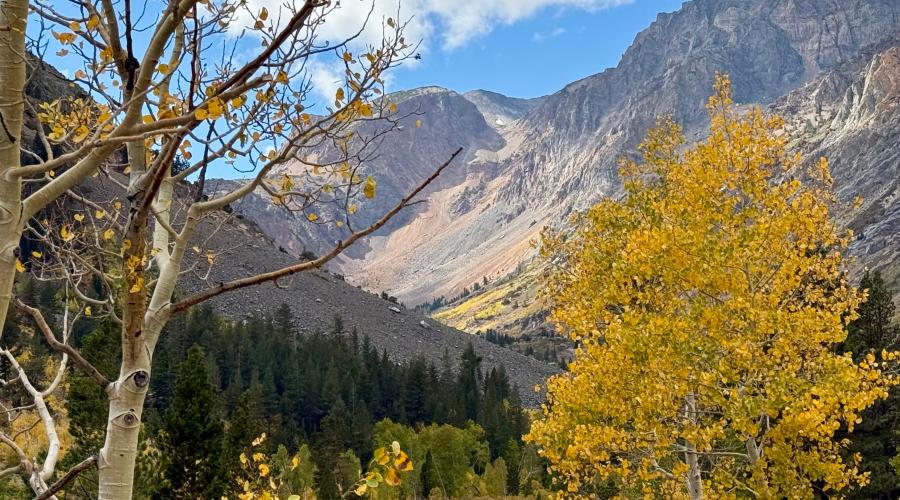
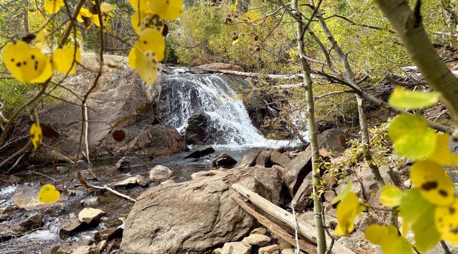
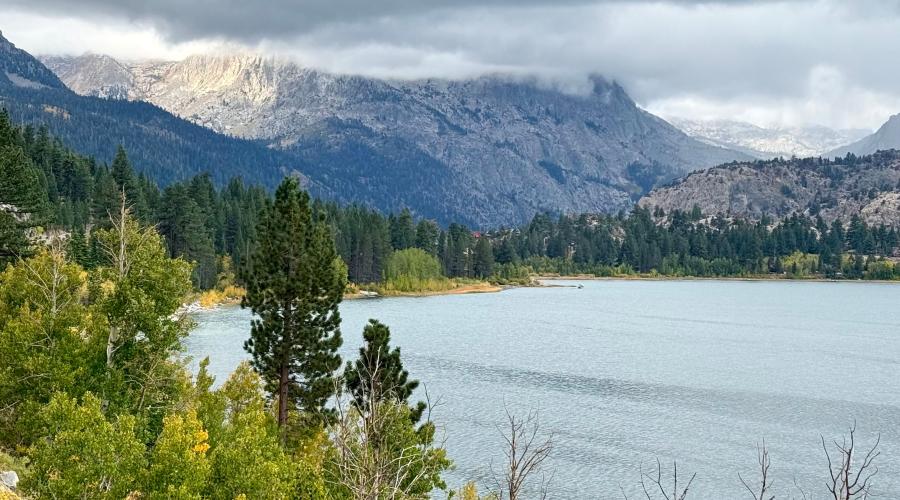
Pictured above: 9.28.26 June Lake - Amanda Carlson, Mono County Tourism
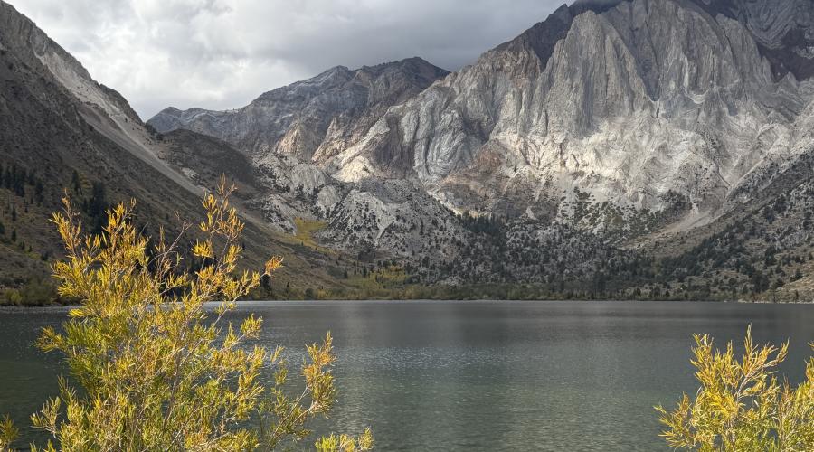
Pictured above: 9.28.26 Convict Lake - Emily Bryant, Mono County Tourism
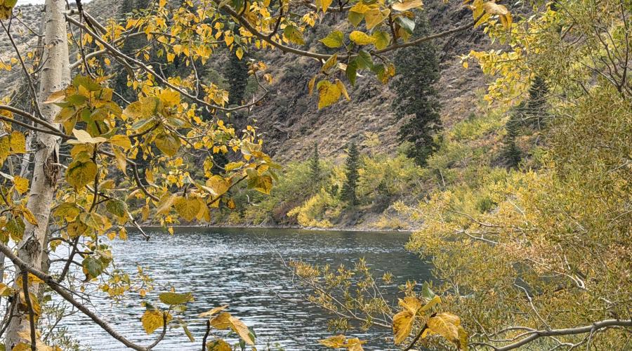
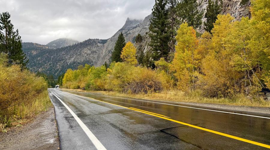
Pictured above: 9.28.26 June Lake Loop - Amanda Carlson, Mono County Tourism
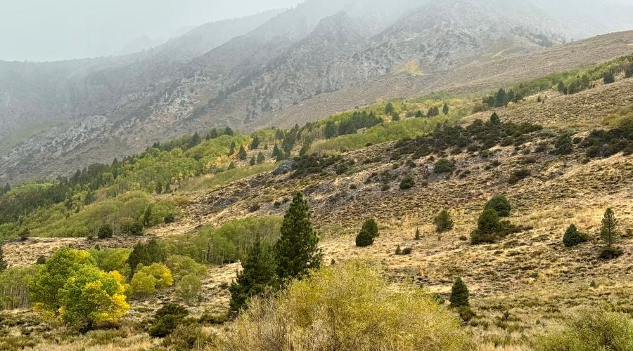
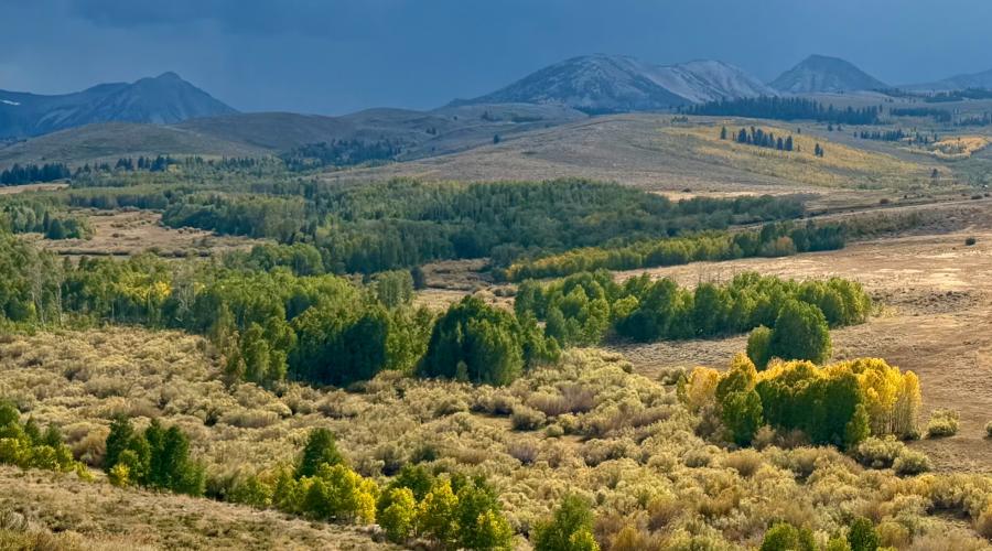
Pictured above: 9.22.26 Conway Summit - Mono County Tourism
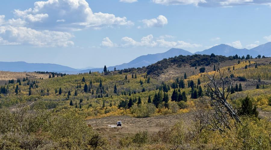
Pictured above: 9.22.26 Monitor Pass - Mono County Tourism
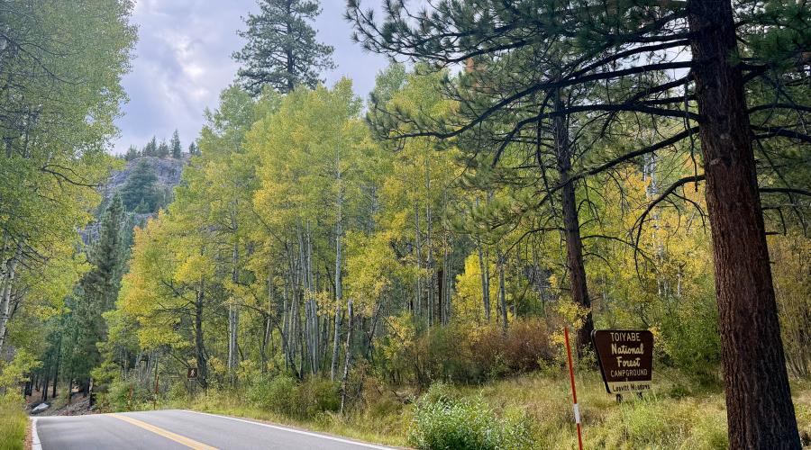
Pictured above: 9.22.26 Sonora Pass - Mono County Tourism
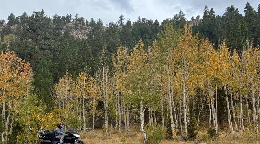
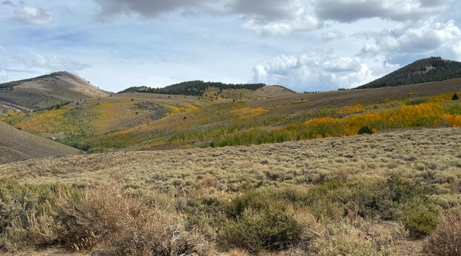
Pictured above: 9.21.26 Lobdell - Stehpanie UrbanWolff, Mono County
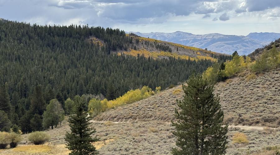
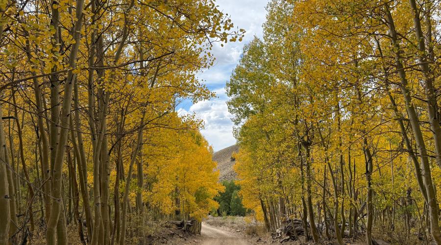
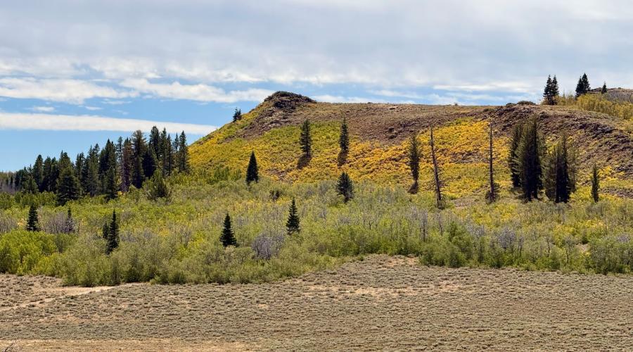
Pictured above: 9.15.26 Monitor Pass - Amanda Carlson, Mono County Tourism
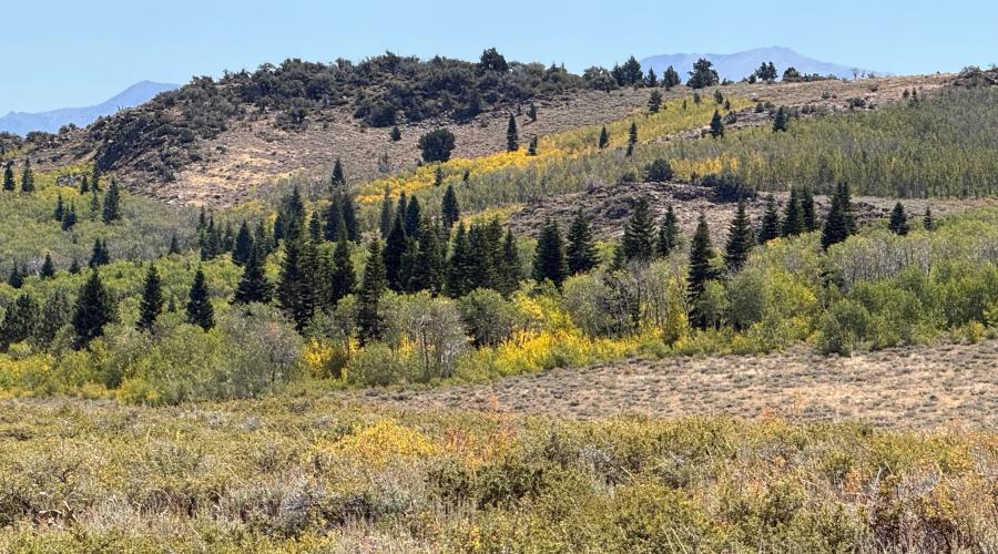
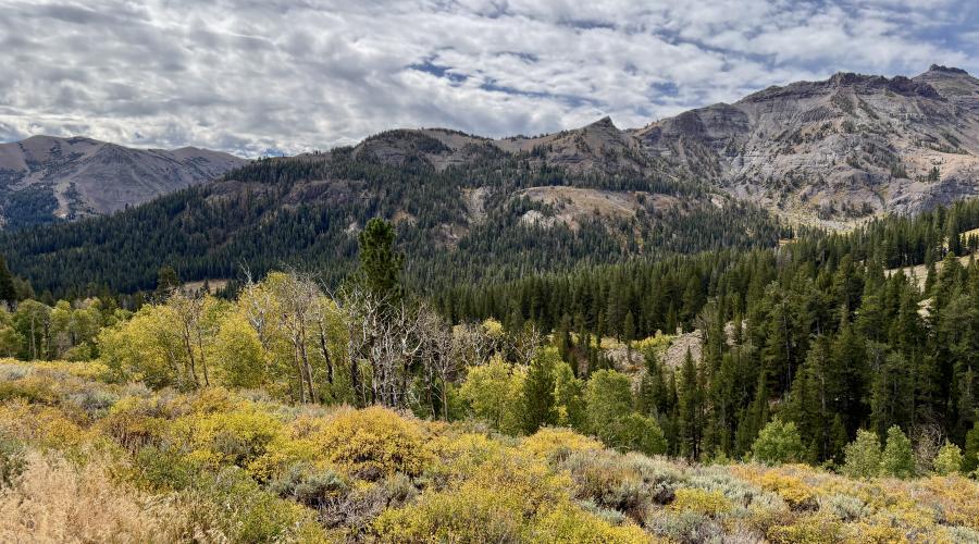
Pictured above: 9.15.26 Sonora Pass - Emily Bryant, Mono County Tourism
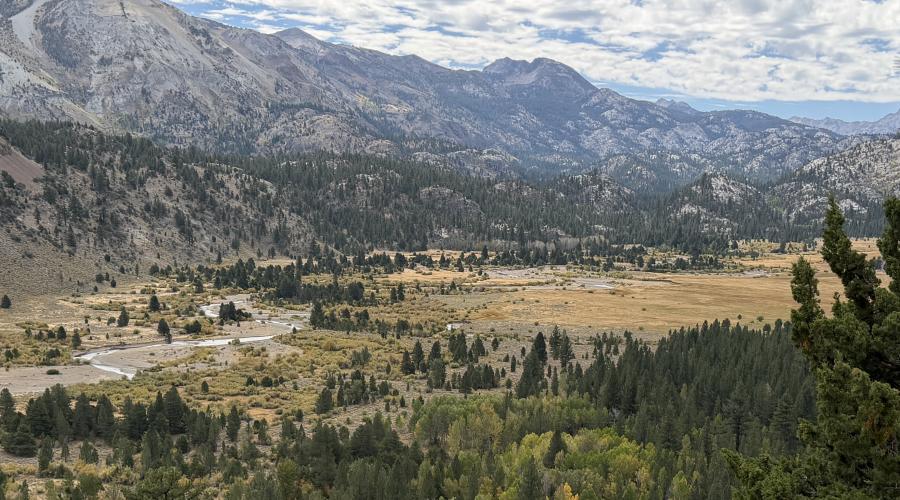
Pictured above: 9.15.26 Leavitt Meadows - Emily Bryant, Mono County Tourism
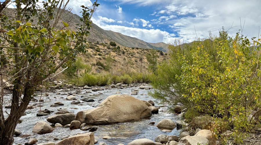
Pictured above: 9.15.26 Walker River - Amanda Carlson, Mono County Tourism
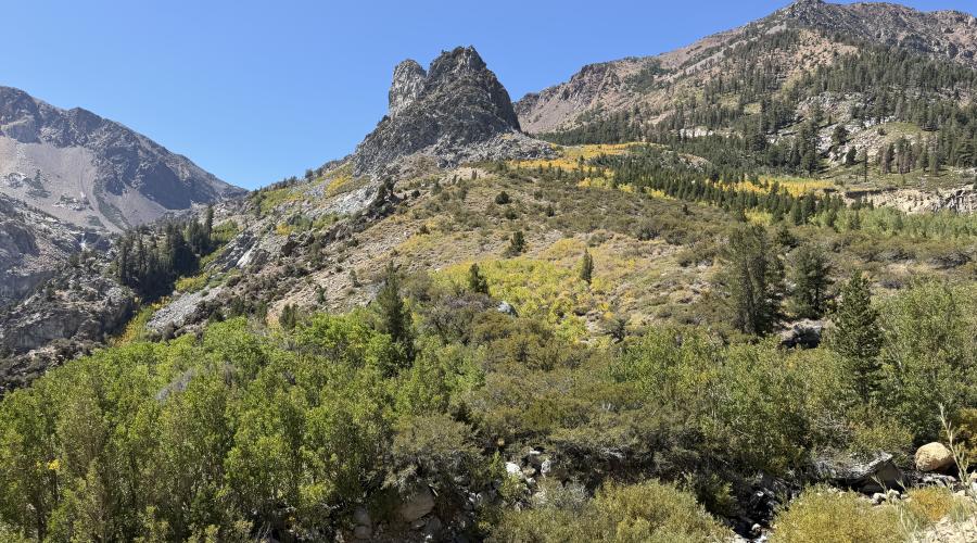
Pictured above: 9.14.26 - Tioga Pass - Emily Bryant, Mono County Tourism
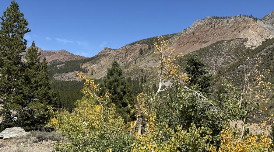
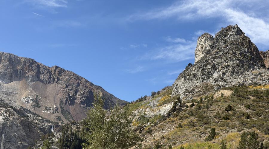
Pictured above: 9.14.26 Tioga Pass - Emily Bryant, Mono County Tourism
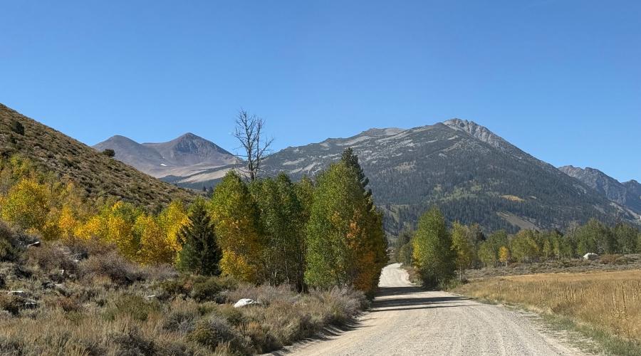
Pictured above: 9.14.26 Green Creek Road - Amanda Carlson Mono County Tourism
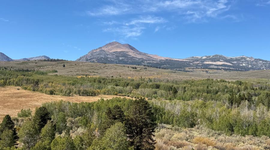
Pictured above: 9.14.26 Conway Summit - Amanda Carlson, Mono County Tourism
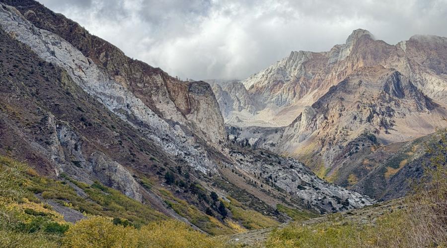
Pictured above: 9.28.26 McGee Creek - Emily Bryant, Mono County Tourism