Places to Go
- Devils Postpile
- Bodie
- Yosemite
- Mono Lake
- Hot Springs
- Towns
- Lakes, Rivers & Creeks
- Bridgeport Reservoir
- Convict Lake
- Crowley Lake
- Grant Lake
- Green Creek
- Gull Lake
- Hot Creek
- June Lake
- Lee Vining Creek
- Lundy Lake
- Mammoth Lakes Basin
- McGee Creek
- Owens River
- Robinson Creek
- Rock Creek
- Rock Creek Lake
- Rush Creek
- Saddlebag Lake
- Silver Lake
- Topaz Lake
- Twin Lakes
- Virginia Lakes
- East Walker River
- West Walker River
- Mountain Passes
- Bridgeport Reservoir
- Convict Lake
- Crowley Lake
- Grant Lake
- Green Creek
- Gull Lake
- Hot Creek
- June Lake
- Lee Vining Creek
- Lundy Lake
- Mammoth Lakes Basin
- McGee Creek
- Owens River
- Robinson Creek
- Rock Creek
- Rock Creek Lake
- Rush Creek
- Saddlebag Lake
- Silver Lake
- Topaz Lake
- Twin Lakes
- Virginia Lakes
- East Walker River
- West Walker River
West Walker River

West Walker River
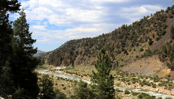
Just after New Year’s Day in 1997, the West Walker River flooded to historic proportions, doubling its average flow. When the flood subsided, more than a half-dozen miles of Highway 395 had been destroyed and the river channel was in rough shape. Since then, lots of work has gone into fixing the road and rehabbing the river and it has slowly but surely returned to its healthy ways. Simply called “the West” by local anglers—and not to be confused with the East Walker—it is becoming a better fishery every year.
The West Walker runs for nearly 100 miles. Originating above Leavitt Meadows on the eastern edge of Yosemite National Park high in the Sierra Nevada, it follows Highway 108 and then flows along Highway 395 to Topaz Lake before eventually merging with the East Walker River in Nevada.
The freestone stream is made primarily of mountain snowmelt and because of its easy roadside access from the two highways that follow it, it’s becoming a more and more popular place to fish every year.
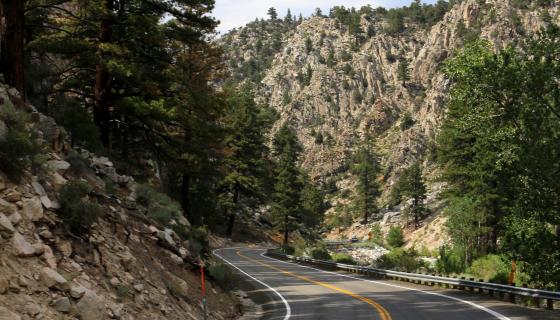
Directions: The West Walker flows along Highway 108, Sonora Pass Road, and follows Highway 395 all the way to Topaz Lake with lots of roadside access.


West Walker River Camping
There are several campgrounds and lodges along the West Walker River. The Bootleg and Chris Flat Campgrounds are both located along Highway 395 in the Walker River Canyon and are first come, first served. The smaller Leavitt Meadows and Sonora Bridge Campgrounds off Highway 108 offer a more rustic and remote experience. They are also first come, first served.
Directions: The West Walker flows along Highway 108, Sonora Pass Road, and follows Highway 395 all the way to Topaz Lake with lots of roadside access.


Fishing the West Walker River
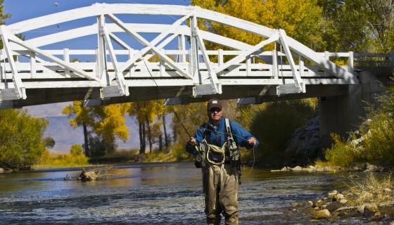
One the regions best freestone rivers, the West Walker is becoming a stronger fishery every season. “The West “ is heavily stocked with rainbow and brown trout and a lucky angler may even hook into a native Lahontan cutthroat or mountain whitefish.
Unlike many other fisheries in the region, flows are a very important factor to take into consideration when fishing the West Walker. The river can become unfishable during spring run-off, so the best times to fish it are in the summer and fall. When flows are good, ideally below 200 cfs (cubic feet per second), it can be a very productive fishery and one of the best wet-wading rivers in the region.
The West Walker is also home to the annual “How Big is Big Derby”. Proceeds from both events go directly towards stocking the river.

